
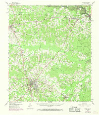
1958 Map of Center
USGS Topo · Published 1959About this map
The town of Center serves as the focal point of this late-1950s survey of East Texas, where the intersection of highways and local roads radiates through the surrounding timberlands and creek bottoms. The landscape is defined by the Sabine National Forest to the east and the winding Sabine River, which marks the state boundary between Shelby County and De Soto Parish. This era captures a region deeply connected by rail, with the Texas and New Orleans RR passing through Tenaha and Joaquin, while the Gulf Colorado and Santa Fe RR cuts a diagonal path toward the county seat.
Find a feature on this map
70 named features on this map. Tap any name to fly to it.
Don’t see what you’re looking for? This feature index may not catch every label — zoom into the map to look around manually.
Map Details
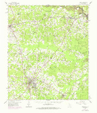
Editions of this 1958 Center Map
Other maps of this area

1944 · Logansport
USGS Topo · 1:62,500

1944 · Patroon
USGS Topo · 1:62,500

1945 · Grand Cane
USGS Topo · 1:62,500

1945 · Socagee Bayou
USGS Topo · 1:62,500

1953 · Alexandria
USGS Topo · 1:250,000

1953 · Palestine
USGS Topo · 1:250,000

1955 · Shreveport
USGS Topo · 1:250,000

1955 · Alexandria
USGS Topo · 1:250,000

1956 · Shreveport
USGS Topo · 1:250,000

1956 · Tyler
USGS Topo · 1:250,000