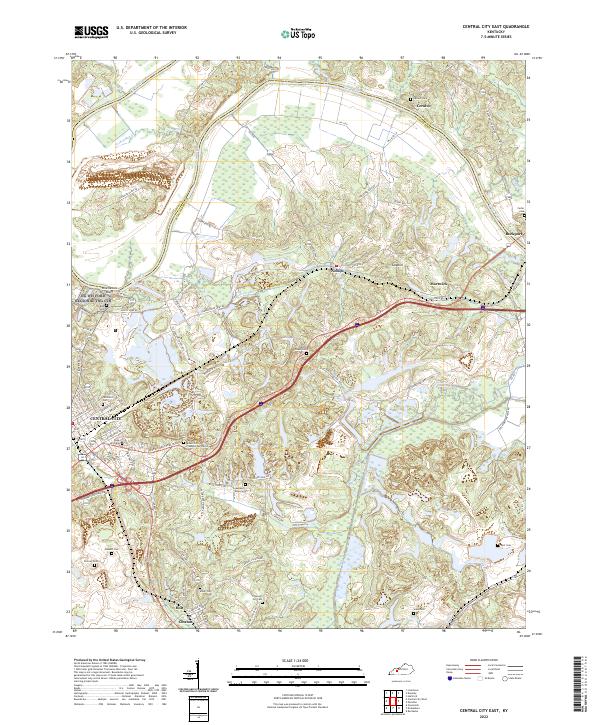
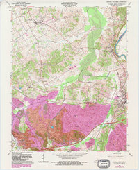
2022 Map of Central City East
USGS Topo · Published 2022About this map
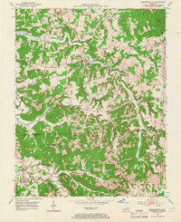
The Green River snakes across the northern border of this Muhlenberg County landscape, carving a deep bend around Ceralvo and defining the boundary with Ohio County. This 2022 survey captures the transition from the eastern outskirts of Central City into a rural network of haul roads and family-named cemeteries. Industrial activity is evident in the complex of transit routes such as Gibraltar Haul Rd and Monsanto Haul Rd, which traverse the terrain between small settlements like Nelson and Martwick.
Find a feature on this map
72 named features on this map. Tap any name to fly to it.
Don’t see what you’re looking for? This feature index may not catch every label — zoom into the map to look around manually.
Map Details
Editions of this 2022 Central City East Map
This is the sole edition of this map. No revisions or reprints were ever made.
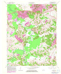
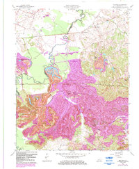
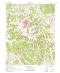
Historical Maps of Martwick Through Time
20 maps found
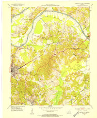
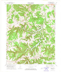
1953 Central City East
Muhlenberg County, KY
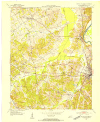
1953 Central City West
Muhlenberg County, KY
1953 Graham
Muhlenberg County, KY
1953 Kirkmansville
Muhlenberg County, KY
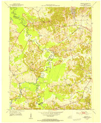
1953 Millport
Muhlenberg County, KY
1953 Rosewood
Muhlenberg County, KY
1963 Central City East
Muhlenberg County, KY
1963 Central City West
Muhlenberg County, KY
1963 Graham
Muhlenberg County, KY
1963 Millport
Muhlenberg County, KY
1972 Kirkmansville
Muhlenberg County, KY
1972 Rosewood
Muhlenberg County, KY
1997 Central City East
Muhlenberg County, KY
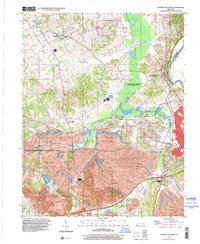
1997 Central City West
Muhlenberg County, KY
2022 Central City East
Muhlenberg County, KY
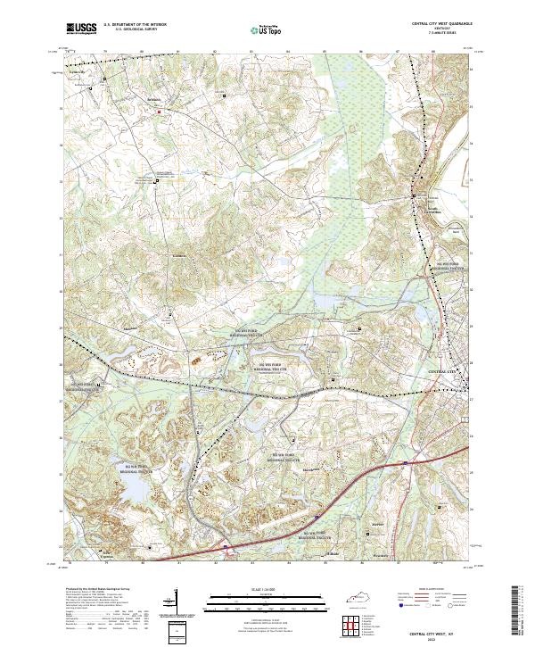
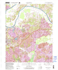
2022 Central City West
Muhlenberg County, KY
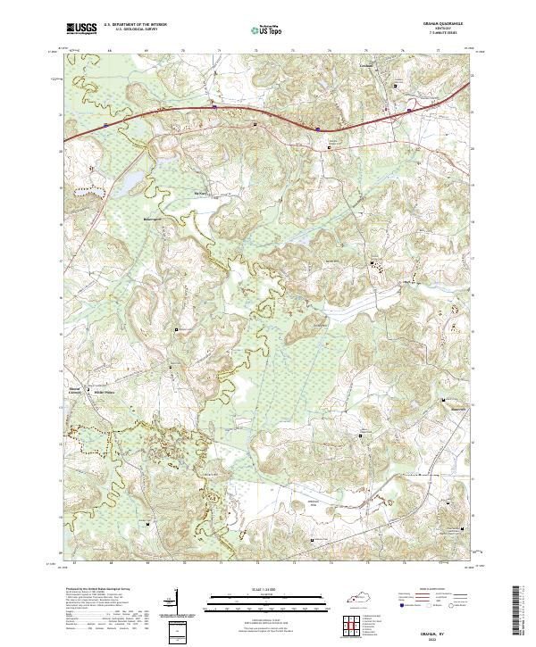
2022 Graham
Muhlenberg County, KY
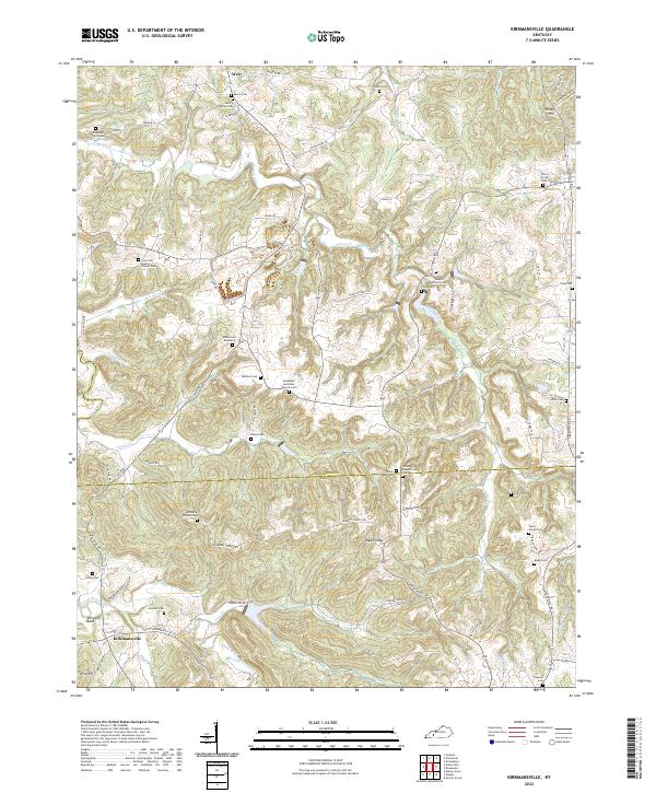
2022 Kirkmansville
Muhlenberg County, KY
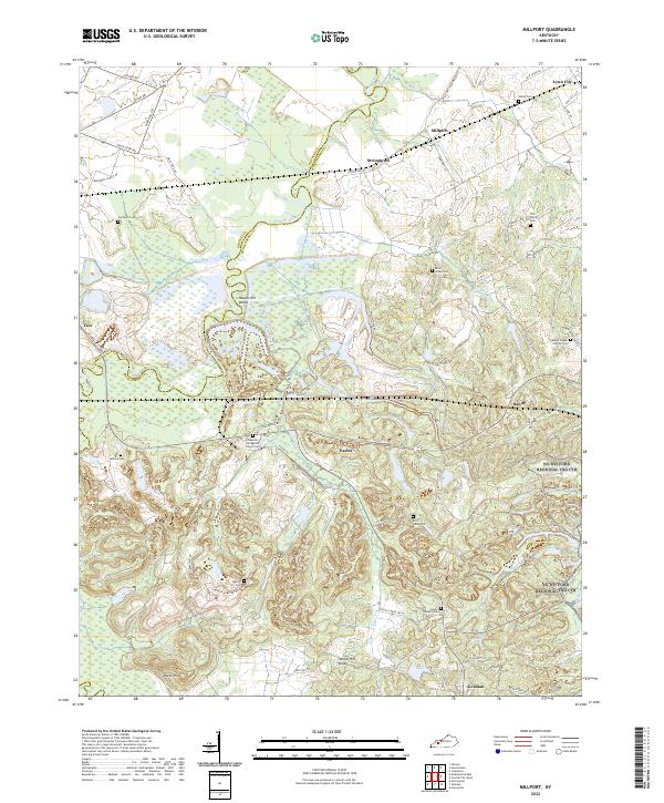
2022 Millport
Muhlenberg County, KY
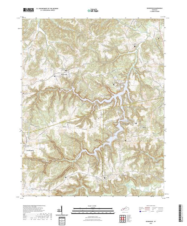
2022 Rosewood
Muhlenberg County, KY