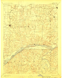
1890 Map of Chamois
USGS Topo · Published 1910About this map
The Missouri River and the Missouri Pacific Railroad define the southern landscape of this 1887 survey, carving a path through the bluffs between Chamois and Gasconade City. This era shows the region as a critical transport corridor, where islands like Portland Island and St Aubert Island sit alongside riverbank settlements such as Portland and Bluffton. To the north, the terrain transitions into the high plains of Nine Mile Prairie and the agricultural hub of Fulton, which serves as a junction for the Chicago and Alton Railroad.
Find a feature on this map
114 named features on this map. Tap any name to fly to it.
Don’t see what you’re looking for? This feature index may not catch every label — zoom into the map to look around manually.
Map Details
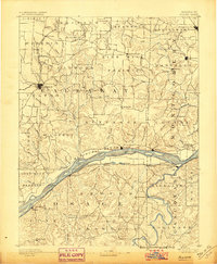
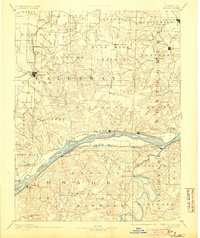
Editions of this 1890 Chamois Map
5 editions found

Other maps of this area

1886 · Jefferson City
USGS Topo · 1:125,000

1888 · Tuscumbia
USGS Topo · 1:125,000

1890 · Louisiana
USGS Topo · 1:125,000

1890 · Mexico
USGS Topo · 1:125,000

1890 · Moberly
USGS Topo · 1:125,000

1890 · Hermann
USGS Topo · 1:125,000

1890 · Fulton
USGS Topo · 1:125,000

1894 · Tuscumbia
USGS Topo · 1:125,000

1894 · Jefferson City
USGS Topo · 1:125,000

1903 · Sullivan
USGS Topo · 1:125,000