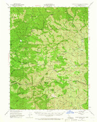
1951 Map of Chanchelulla Peak
USGS Topo · Published 1966About this map
Trinity National Forest defines the high-altitude landscape of this 1951 survey, where the borders of Trinity, Shasta, and Tehama counties meet. The area is a network of ridges and drainages, marked by the prominent Chanchelulla Pk and Beegum Peak. This era shows a significant human presence tied to forest management and ranching, evidenced by the Deer Lick Guard Sta and the Harrison Gulch Ranger Sta. Local industry and remote living are documented through the Midas Mine and numerous family holdings such as the Bland Ranch and Braden Ranch.
Find a feature on this map
106 named features on this map. Tap any name to fly to it.
Don’t see what you’re looking for? This feature index may not catch every label — zoom into the map to look around manually.
Map Details
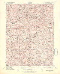
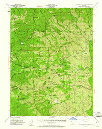
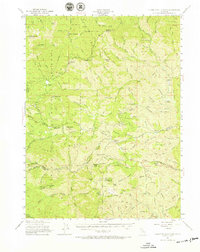
Editions of this 1951 Chanchelulla Peak Map
5 editions found

Other maps of this area

1890 · Red Bluff
USGS Topo · 1:250,000

1894 · Red Bluff
USGS Topo · 1:250,000

1909 · Big Bar
USGS Topo · 1:96,000

1913 · Weaverville
USGS Topo · 1:125,000

1915 · Big Bar and Vicinity
USGS Topo · 1:250,000

1931 · Hoaglin
USGS Topo · 1:96,000

1935 · Hoaglin
USGS Topo · 1:125,000

1944 · French Gulch
USGS Topo · 1:62,500

1948 · French Gulch
USGS Topo · 1:62,500

1949 · Colyear Springs
USGS Topo · 1:62,500