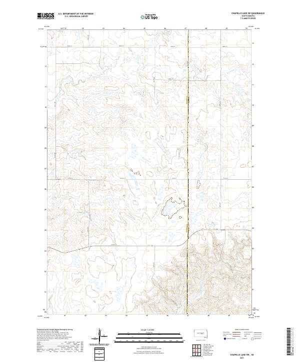
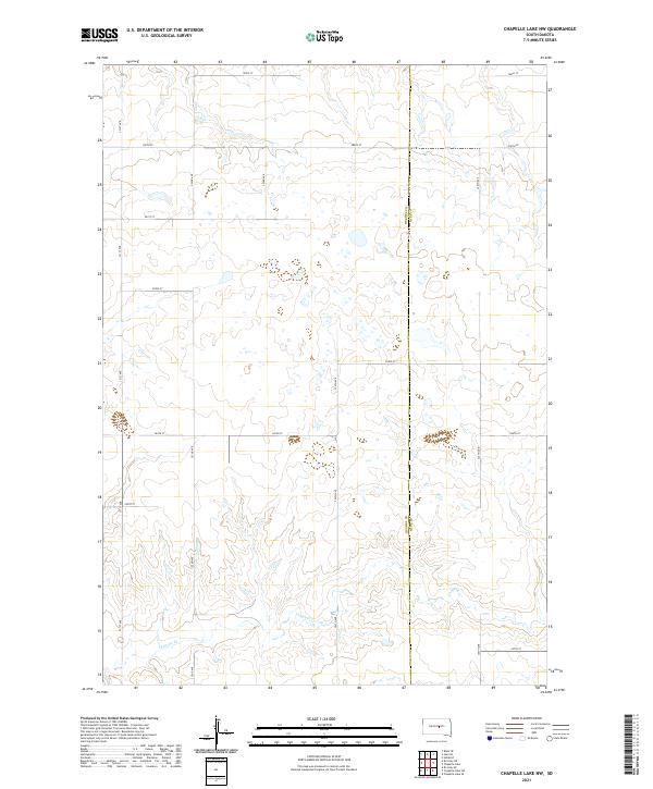
2021 Map of Chapelle Lake SW
USGS Topo · Published 2021About this map
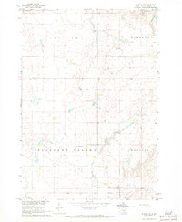
Hughes and Hyde County boundaries define this rural South Dakota landscape, where the drainage systems of the Missouri River plateau dictate the local geography. Significant watercourses including S Chapelle Cr and Joe Cr carve through the prairie, shaping the relief across the township blocks of T110N and T111N. The map reveals a strictly organized grid of sectional roads, such as 324th Ave and 208th St, which provide access to this sparsely settled agricultural region. The southern portion of the quadrangle transitions toward the drainage of Chaney Rush Cr, accessed by the eponymous Chaney Rush Rd. This 2021 survey by the U.S. Geological Survey provides an essential record of modern land management and hydrological patterns in the heart of the Great Plains, capturing the intersection of section lines and natural stream beds.
Find a feature on this map
21 named features on this map. Tap any name to fly to it.
Don’t see what you’re looking for? This feature index may not catch every label — zoom into the map to look around manually.
Map Details
Editions of this 2021 Chapelle Lake SW Map
This is the sole edition of this map. No revisions or reprints were ever made.
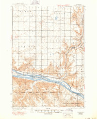
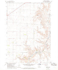
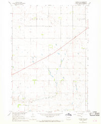
Historical Maps of Fort Thompson District Through Time
27 maps found

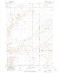
1934 Canning
Hughes County, SD
1937 Canning
Hughes County, SD

1966 Joe Creek
Hughes County, SD

1966 Lower Brule NW
Hughes County, SD
1967 Canning
Hughes County, SD
1967 Canning NW
Hughes County, SD
1967 De Grey NE
Hughes County, SD
1967 De Grey NW
Hughes County, SD

1967 Pierre NE
Hughes County, SD
1973 Chapelle Lake NW
Hughes County, SD

1973 Chapelle Lake SW
Hughes County, SD
1973 De Grey
Hughes County, SD
1973 De Grey SE
Hughes County, SD
1973 Rousseau
Hughes County, SD
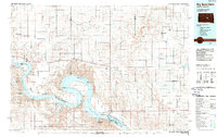
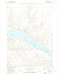
1985 Big Bend Dam
Hughes County, SD
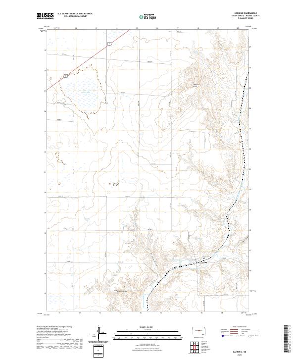
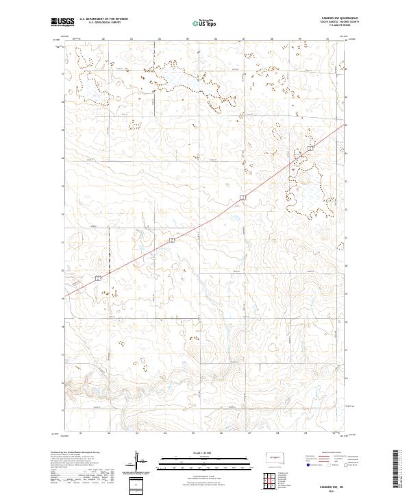
2021 Canning
Hughes County, SD
2021 Canning NW
Hughes County, SD
2021 Chapelle Lake NW
Hughes County, SD
2021 Chapelle Lake SW
Hughes County, SD
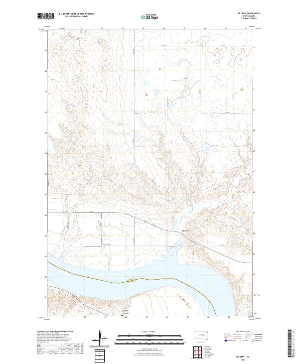
2021 De Grey
Hughes County, SD
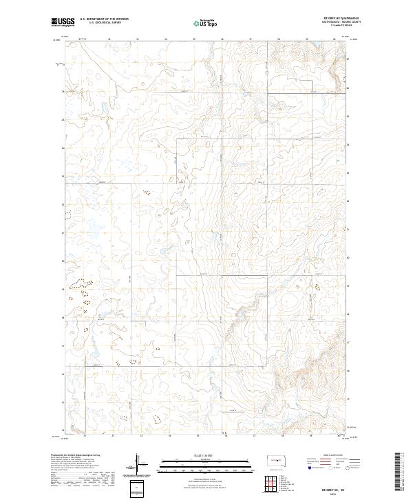
2021 De Grey NE
Hughes County, SD
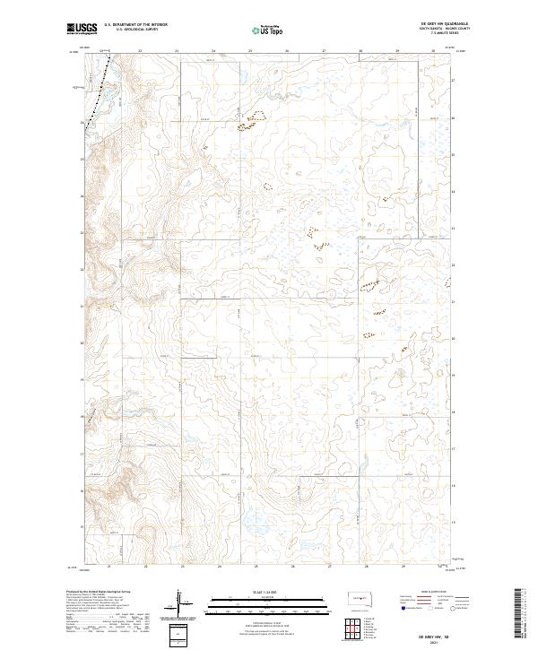
2021 De Grey NW
Hughes County, SD
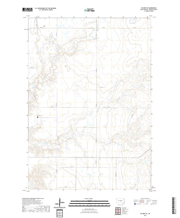
2021 De Grey SE
Hughes County, SD
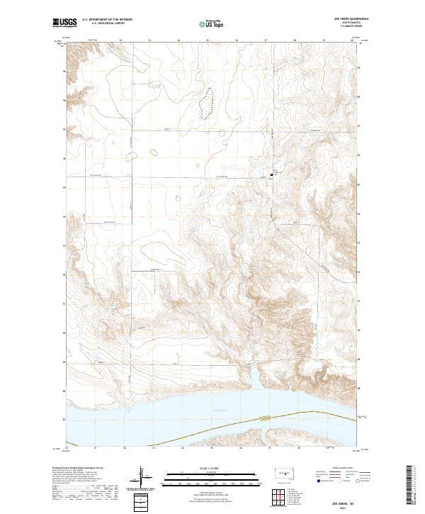
2021 Joe Creek
Hughes County, SD
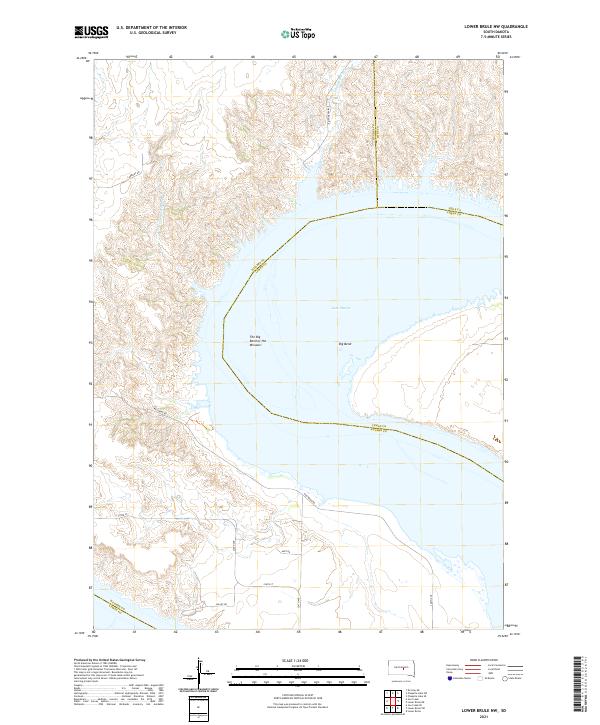
2021 Lower Brule NW
Hughes County, SD
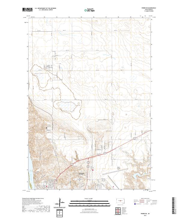
2021 Pierre NE
Hughes County, SD
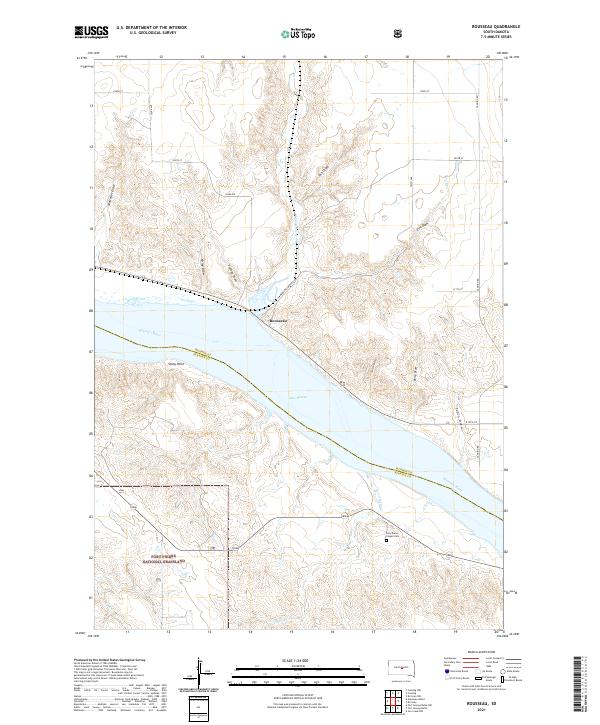
2021 Rousseau
Hughes County, SD