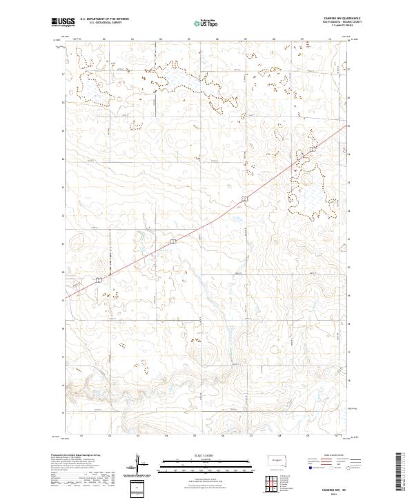
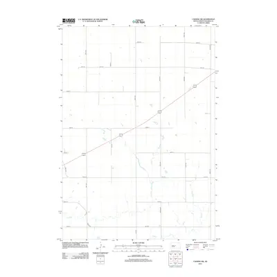
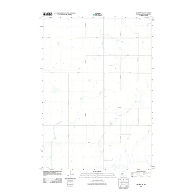
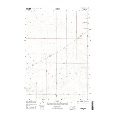
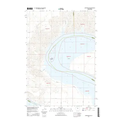
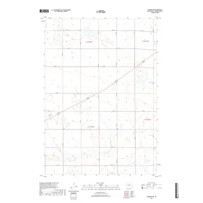
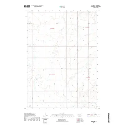
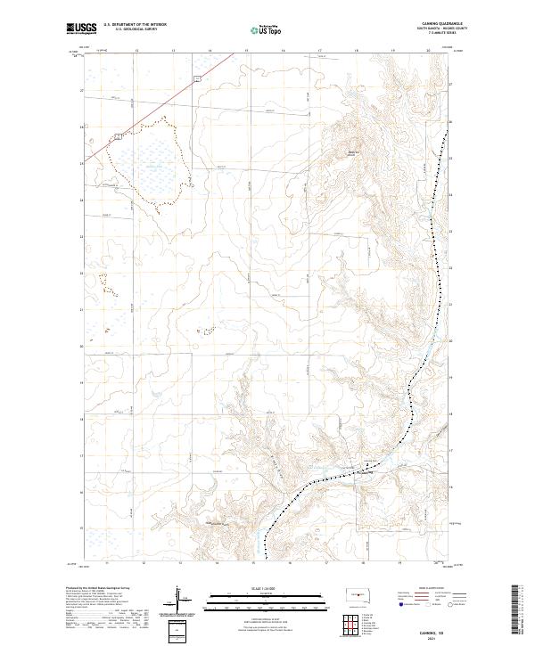
2021 Map of Canning NW
USGS Topo · Published 2021About this map
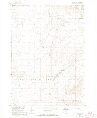
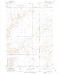
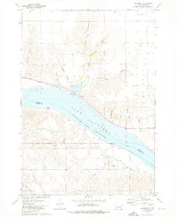
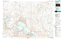
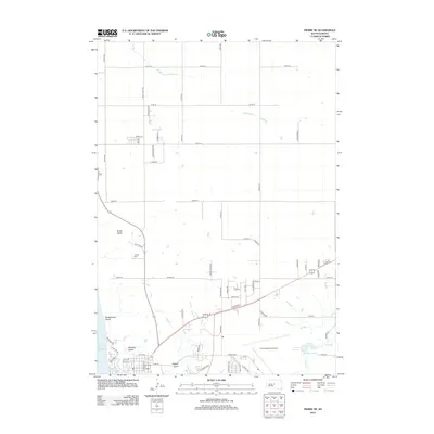
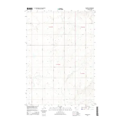
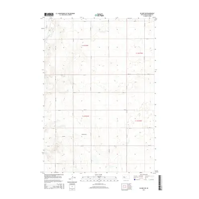
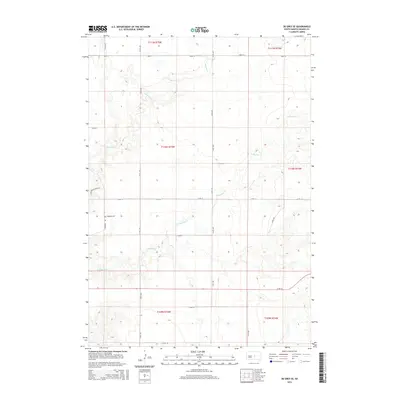
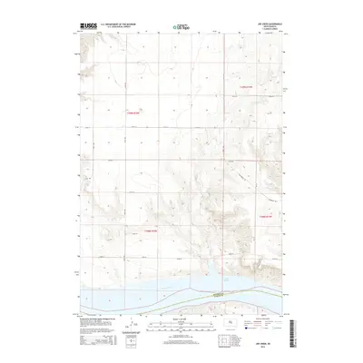
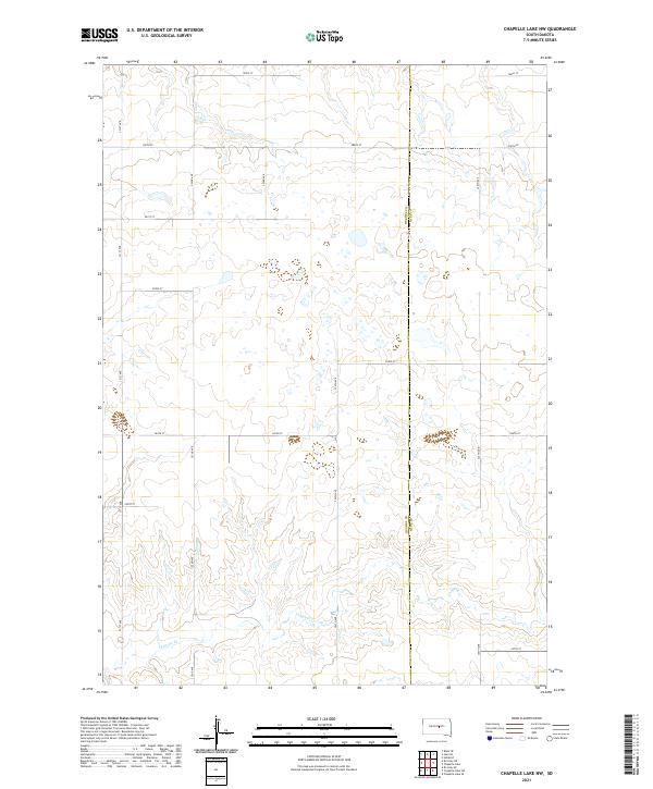
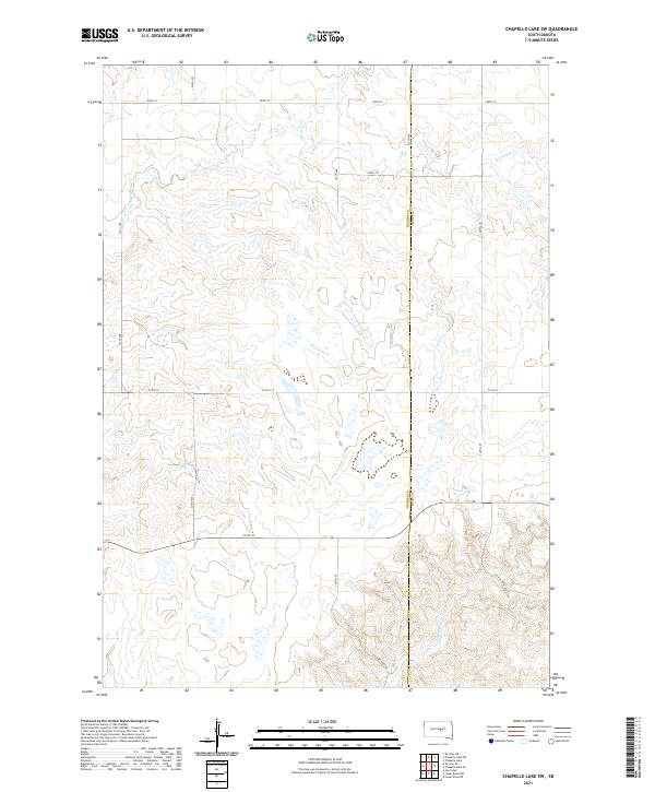
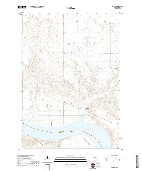
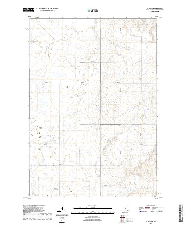
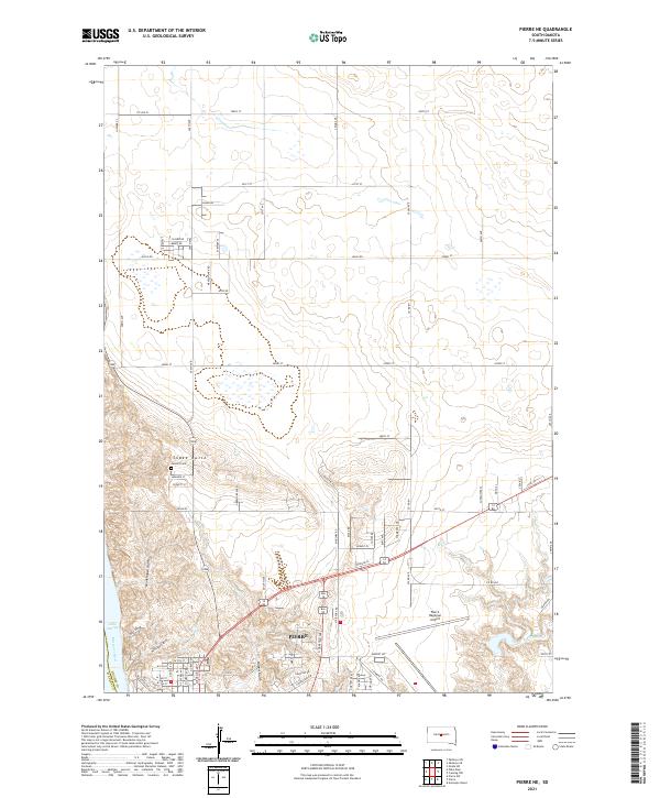
The rolling plains of Hughes County are defined by a rhythmic grid of rural roads and seasonal watercourses in this 2021 study. Water management and drainage are visible through the winding paths of Dry Run and Mush Cr, which carve through the landscape south of 200th St. This area reflects the modern township and range organization, with sections clearly marked across t112n r78w and t111n r77w. A network of thoroughfares including Nystrom Rd and Marble Rd connects the farmsteads and open acreage, while named routes like Co Rd 810 provide north-south transit through the heart of the quadrangle. The map captures a contemporary snapshot of South Dakota's agricultural interior, where land use is structured by section lines and natural drainage basins.
Find a feature on this map
24 named features on this map. Tap any name to fly to it.
Don’t see what you’re looking for? This feature index may not catch every label — zoom into the map to look around manually.
Map Details
Editions of this 2021 Canning NW Map
This is the sole edition of this map. No revisions or reprints were ever made.
Historical Maps of Hughes County Through Time
63 maps found

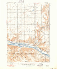
1934 Canning
Hughes County, SD
1937 Canning
Hughes County, SD

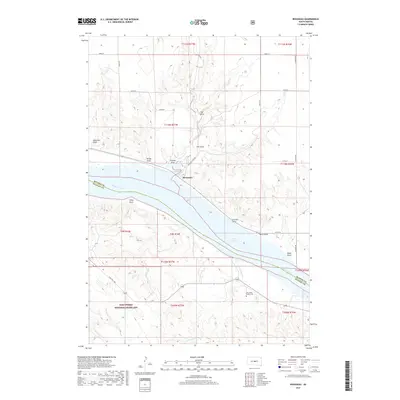
1966 Joe Creek
Hughes County, SD

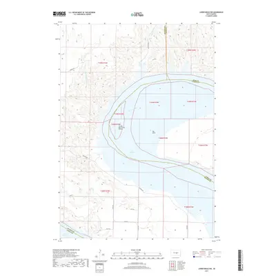
1966 Lower Brule NW
Hughes County, SD
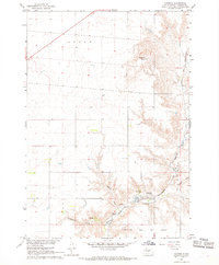
1967 Canning
Hughes County, SD
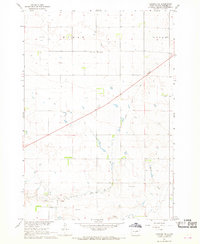
1967 Canning NW
Hughes County, SD
1967 De Grey NE
Hughes County, SD
1967 De Grey NW
Hughes County, SD

1967 Pierre NE
Hughes County, SD
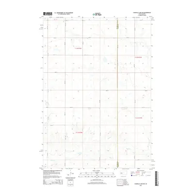
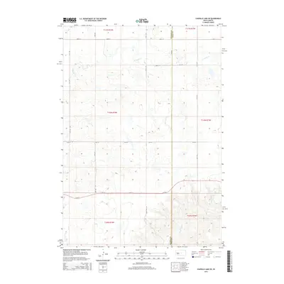
1973 Chapelle Lake NW
Hughes County, SD

1973 Chapelle Lake SW
Hughes County, SD
1973 De Grey
Hughes County, SD
1973 De Grey SE
Hughes County, SD
1973 Rousseau
Hughes County, SD
1985 Big Bend Dam
Hughes County, SD
2012 Canning
Hughes County, SD
2012 Canning NW
Hughes County, SD
2012 Chapelle Lake NW
Hughes County, SD
2012 Chapelle Lake SW
Hughes County, SD
2012 De Grey
Hughes County, SD
2012 De Grey NE
Hughes County, SD
2012 De Grey NW
Hughes County, SD
2012 De Grey SE
Hughes County, SD
2012 Joe Creek
Hughes County, SD
2012 Lower Brule NW
Hughes County, SD
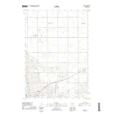
2012 Pierre NE
Hughes County, SD
2012 Rousseau
Hughes County, SD
2015 Canning
Hughes County, SD
2015 Canning NW
Hughes County, SD
2015 Chapelle Lake NW
Hughes County, SD
2015 Chapelle Lake SW
Hughes County, SD
2015 De Grey
Hughes County, SD
2015 De Grey NE
Hughes County, SD
2015 De Grey NW
Hughes County, SD
2015 De Grey SE
Hughes County, SD
2015 Joe Creek
Hughes County, SD
2015 Lower Brule NW
Hughes County, SD
2015 Pierre NE
Hughes County, SD
2015 Rousseau
Hughes County, SD
2017 Canning
Hughes County, SD
2017 Canning NW
Hughes County, SD
2017 Chapelle Lake NW
Hughes County, SD
2017 Chapelle Lake SW
Hughes County, SD
2017 De Grey
Hughes County, SD
2017 De Grey NE
Hughes County, SD
2017 De Grey NW
Hughes County, SD
2017 De Grey SE
Hughes County, SD
2017 Joe Creek
Hughes County, SD
2017 Lower Brule NW
Hughes County, SD
2017 Pierre NE
Hughes County, SD
2017 Rousseau
Hughes County, SD
2021 Canning
Hughes County, SD
2021 Canning NW
Hughes County, SD
2021 Chapelle Lake NW
Hughes County, SD
2021 Chapelle Lake SW
Hughes County, SD
2021 De Grey
Hughes County, SD
2021 De Grey NE
Hughes County, SD
2021 De Grey NW
Hughes County, SD
2021 De Grey SE
Hughes County, SD
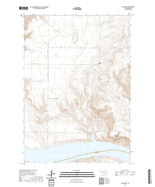
2021 Joe Creek
Hughes County, SD
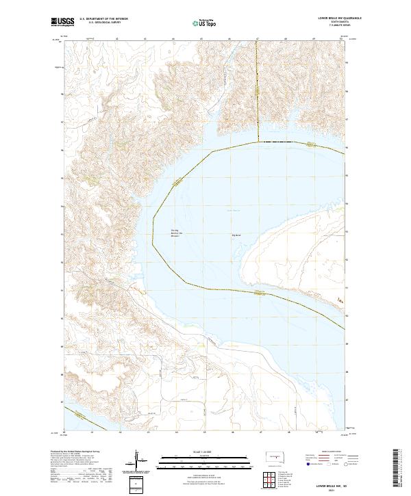
2021 Lower Brule NW
Hughes County, SD
2021 Pierre NE
Hughes County, SD
2021 Rousseau
Hughes County, SD