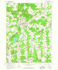
1966 Map of Chardon
USGS Topo · Published 1968About this map
Chardon serves as the focal point of this mid-1960s Geauga County landscape, situated at the junction of several historic transit corridors including the Baltimore and Ohio railroad. The map documents a community in transition, balancing established institutional sites like the Sisters of Notre Dame Educational Center and the Geauga Community Hospital with recreational features such as the Drive-in Theater and a sprawling Golf Course. To the south and east, the villages of Aquilla and Claridon maintain a more rural character, defined by the headwaters of the Cuyahoga River and protected lands like the Aquilla Lake Wildlife Area. For genealogists, the survey identifies several burial sites including Pitkin Cem, Claridon Cem, and the County Cem, providing precise locations for family history research. Notable infrastructure includes the Chardon Airfield and the Old Railroad Grade, which traces a former line through Munson township.
Find a feature on this map
53 named features on this map. Tap any name to fly to it.
Don’t see what you’re looking for? This feature index may not catch every label — zoom into the map to look around manually.
Map Details
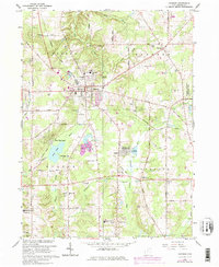
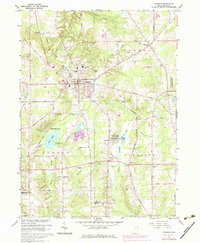
Editions of this 1966 Chardon Map
3 editions found
Other maps of this area

1904 · Chardon
USGS Topo · 1:62,500

1905 · Garrettsville
USGS Topo · 1:62,500

1905 · Mentor
USGS Topo · 1:62,500

1906 · Chardon
USGS Topo · 1:62,500

1906 · Chagrin Falls
USGS Topo · 1:62,500

1907 · Garrettsville
USGS Topo · 1:62,500

1907 · Mentor
USGS Topo · 1:62,500

1908 · Chagrin Falls
USGS Topo · 1:62,500

1950 · Cleveland
USGS Topo · 1:250,000

1953 · Chardon
USGS Topo · 1:24,000