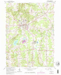
1966 Map of Chardon
USGS Topo · Published 1979About this map
The town of Chardon serves as the focal point of this Geauga County landscape, revealing a mid-century community shaped by both industrial extraction and conservation. Located within the historic Connecticut Western Reserve, the area shows an active economy of Gravel Pits and a Quarry situated near the headwaters of the Cuyahoga River. In the years following the war, suburban expansion is evidenced by several developments, including the Drive-in Theater along Butternut Road and the Chardon Airfield. Educational and religious life is anchored by institutions such as the Sisters of Notre Dame Educational Center and St Marys Sch. Outside the village center, the landscape transitions to the Aquilla Lake Wildlife Area and the Hambden Orchard Wildlife Area, while the remnants of the Old Railroad Grade trace a path through Munson township, marking a transition in local transportation.
Find a feature on this map
58 named features on this map. Tap any name to fly to it.
Don’t see what you’re looking for? This feature index may not catch every label — zoom into the map to look around manually.
Map Details
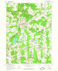
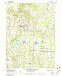
Editions of this 1966 Chardon Map
3 editions found
Other maps of this area

1904 · Chardon
USGS Topo · 1:62,500

1905 · Garrettsville
USGS Topo · 1:62,500

1905 · Mentor
USGS Topo · 1:62,500

1906 · Chardon
USGS Topo · 1:62,500

1906 · Chagrin Falls
USGS Topo · 1:62,500

1907 · Garrettsville
USGS Topo · 1:62,500

1907 · Mentor
USGS Topo · 1:62,500

1908 · Chagrin Falls
USGS Topo · 1:62,500

1950 · Cleveland
USGS Topo · 1:250,000

1953 · Chardon
USGS Topo · 1:24,000