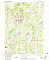
1966 Map of Chardon
USGS Topo · Published 1979About this map
The village of Chardon serves as the focal point of this Geauga County landscape, situated where the Baltimore and Ohio railroad meets a network of country roads like Hosford Road and Thwing Road. This mid-century survey captures a period of local expansion, noted in purple revisions that show new residential development surrounding the historic core. The map reveals a diverse rural economy, ranging from the Hambden Orchard Wildlife Area to numerous active Gravel Pits and a Quarry near the village limits.
Find a feature on this map
53 named features on this map. Tap any name to fly to it.
Don’t see what you’re looking for? This feature index may not catch every label — zoom into the map to look around manually.
Map Details
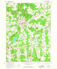
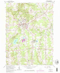
Editions of this 1966 Chardon Map
3 editions found
Other maps of this area

1904 · Chardon
USGS Topo · 1:62,500

1905 · Garrettsville
USGS Topo · 1:62,500

1905 · Mentor
USGS Topo · 1:62,500

1906 · Chardon
USGS Topo · 1:62,500

1906 · Chagrin Falls
USGS Topo · 1:62,500

1907 · Garrettsville
USGS Topo · 1:62,500

1907 · Mentor
USGS Topo · 1:62,500

1908 · Chagrin Falls
USGS Topo · 1:62,500

1950 · Cleveland
USGS Topo · 1:250,000

1953 · Chardon
USGS Topo · 1:24,000