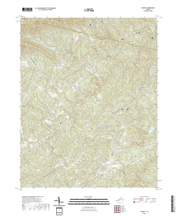
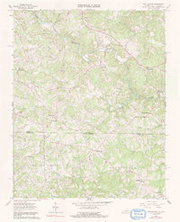
2022 Map of Charity
USGS Topo · Published 2022About this map
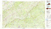
The Smith River winds through this section of the Virginia Piedmont, defining a landscape marked by steep ridges and winding creek valleys. Situated along the borders of Floyd and Franklin counties, the area is characterized by a high density of ancestral burial grounds, suggesting a long history of family-centered settlement in these hills. Notable sites include the Goblintown Cem, McAlexander Cem, and the Rakes Thomas Cem.
Find a feature on this map
89 named features on this map. Tap any name to fly to it.
Don’t see what you’re looking for? This feature index may not catch every label — zoom into the map to look around manually.
Map Details
Editions of this 2022 Charity Map
This is the sole edition of this map. No revisions or reprints were ever made.
Historical Maps of Elamsville Through Time
14 maps found
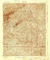
1926 Critz
Patrick County, VA
1928 Critz
Patrick County, VA
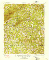
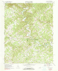
1967 Charity
Patrick County, VA
1967 Nettleridge
Patrick County, VA
1968 Claudville
Patrick County, VA
1968 Stuart SE
Patrick County, VA
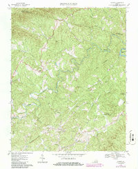
1968 Woolwine
Patrick County, VA
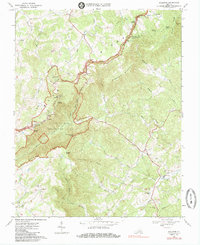
1986 Galax
Patrick County, VA
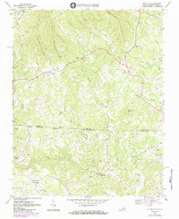
2022 Charity
Patrick County, VA
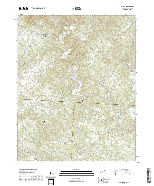
2022 Claudville
Patrick County, VA
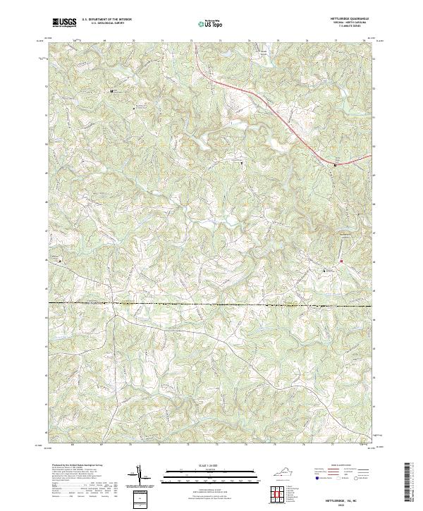
2022 Nettleridge
Patrick County, VA
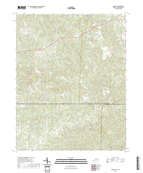
2022 Spencer
Patrick County, VA
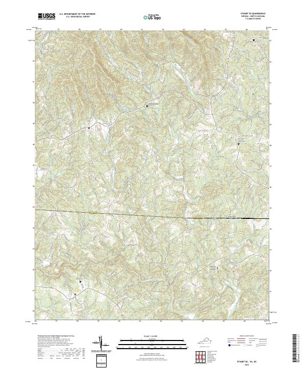
2022 Stuart SE
Patrick County, VA
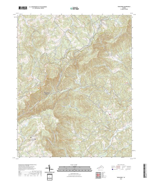
2022 Woolwine
Patrick County, VA