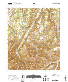
2018 Map of Charley River B-6 SE
USGS Topo · Published 2018About this map
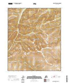
Yukon-Charley Rivers National Preserve encompasses the entirety of this interior Alaskan landscape, a region defined by its remote drainage systems and elevation changes. The land is marked by the northward-flowing Webber Cr and the winding course of Caribou Cr in the northern reaches, while the southern section is drained by Woodchopper Cr. This 2018 survey reveals a terrain largely untouched by modern road infrastructure, emphasizing the protected status of the preserve and the natural hydrology of the Yukon River basin. The map detail highlights the intricate contouring of the uplands, providing a precise record of the watershed boundaries that have historically guided travel and subsistence in this part of the Yukon-Koyukuk Census Area.
Find a feature on this map
10 named features on this map. Tap any name to fly to it.
Don’t see what you’re looking for? This feature index may not catch every label — zoom into the map to look around manually.
Map Details
Editions of this 2018 Charley River B-6 SE Map
This is the sole edition of this map. No revisions or reprints were ever made.
Other maps of this area

1951 · Charley River
USGS Topo · 1:250,000

1956 · Charley River B-6
USGS Topo · 1:63,360

1956 · Charley River A-5
USGS Topo · 1:63,360

1956 · Charley River B-5
USGS Topo · 1:63,360

1956 · Charley River A-6
USGS Topo · 1:63,360

1956 · Charley River
USGS Topo · 1:250,000
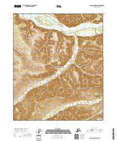
2018 · Charley River B-5 SW
USGS Topo · 1:25,000
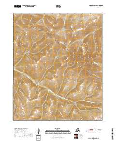
2018 · Charley River A-6 NW
USGS Topo · 1:25,000
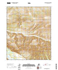
2018 · Charley River B-5 NW
USGS Topo · 1:25,000
2018 · Charley River A-5 NW
USGS Topo · 1:25,000