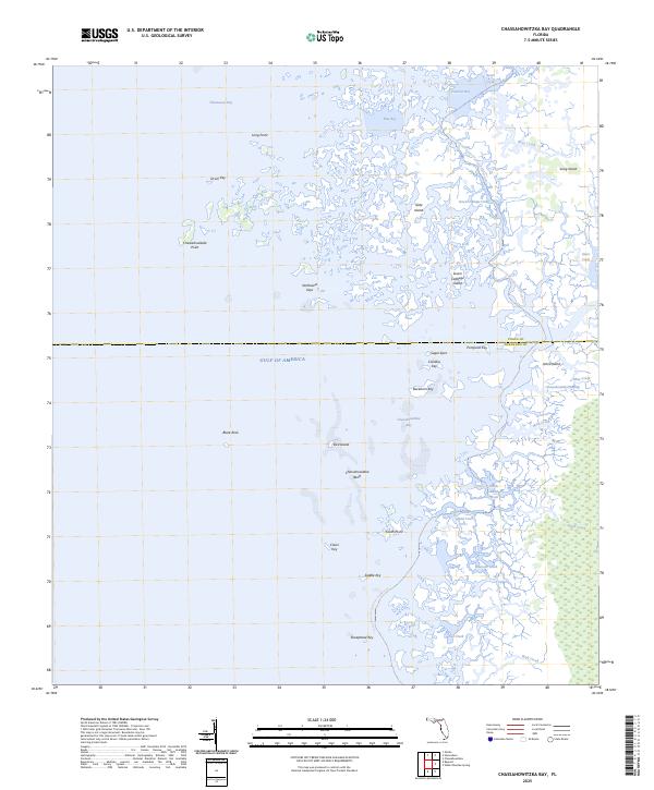
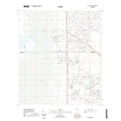
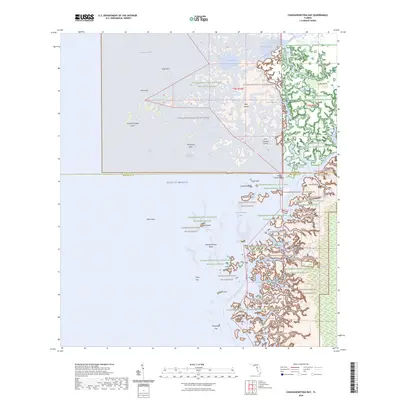
2025 Map of Chassahowitzka Bay
USGS Topo · Published 2025About this map
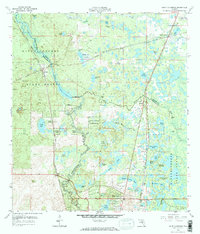
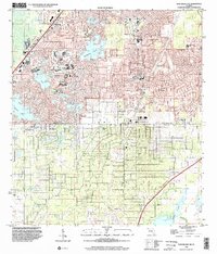
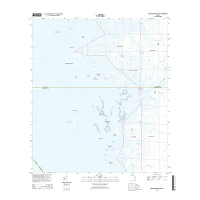
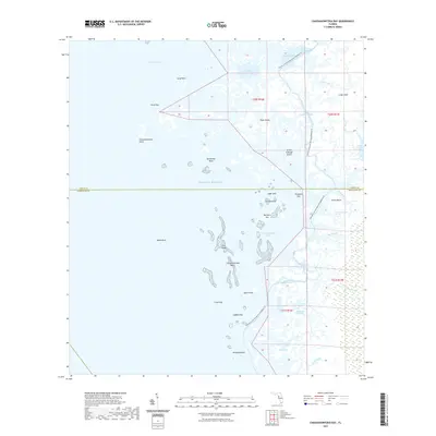
Chassahowitzka Bay and the surrounding labyrinth of the Florida Gulf Coast define this intricate maritime landscape. This region, where the Citrus and Hernando County line meets the salt marsh, is characterized by a dense network of tidal creeks and mangrove keys. The map documents a complex hydrologic system including Seven Cabbage Cutoff, Rose Creek, and Haulover Creek, which weave through the expansive Chassahowitzka Swamp. For those navigating the shoreline, the Florida Circumnavigational Paddling Trl provides a marked route through the protected waters and limestone hazards of the Chassahowitzka Reefs. From Homosassa Bay in the north down to Sheephead Key, the survey shows an environment shaped by water, with numerous named islands like Seven Cabbage Island and Slate Island punctuating the shallow bays.
Find a feature on this map
39 named features on this map. Tap any name to fly to it.
Don’t see what you’re looking for? This feature index may not catch every label — zoom into the map to look around manually.
Map Details
Editions of this 2025 Chassahowitzka Bay Map
This is the sole edition of this map. No revisions or reprints were ever made.
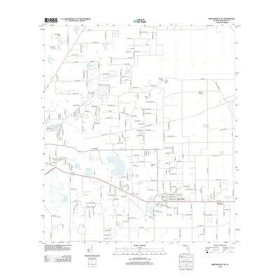
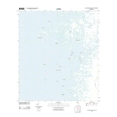
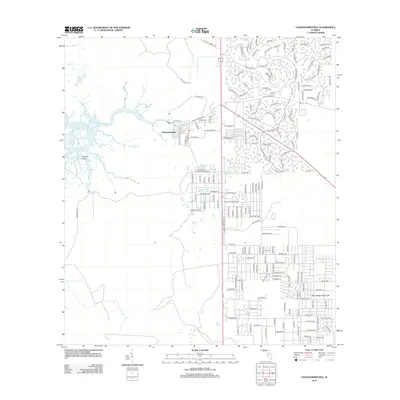
Historical Maps of Hernando County Through Time
40 maps found
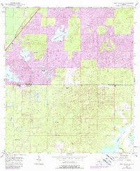
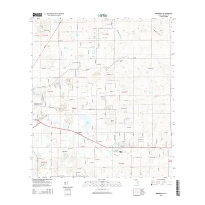
1954 Brooksville SE
Hernando County, FL
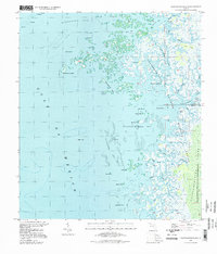
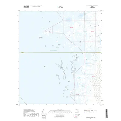
1954 Chassahowitzka Bay
Hernando County, FL
1954 Chassahowitzka
Hernando County, FL
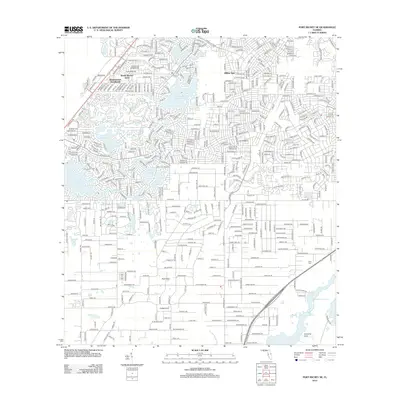
1954 Port Richey Ne
Hernando County, FL
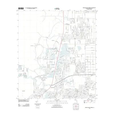
1954 Weeki Wachee Spring
Hernando County, FL
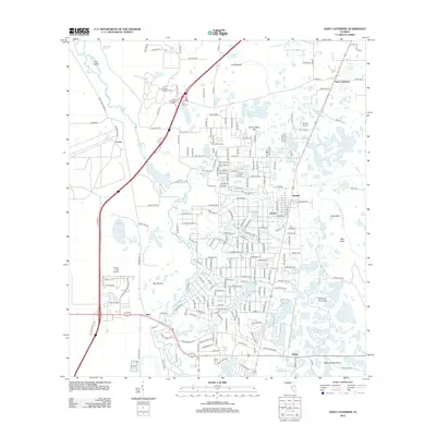
1958 Saint Catherine
Hernando County, FL
1994 Chassahowitzka Bay
Hernando County, FL
1999 Port Richey NE
Hernando County, FL
2012 Brooksville SE
Hernando County, FL
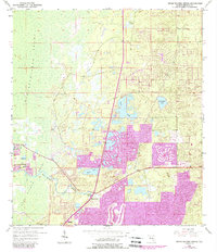
2012 Chassahowitzka Bay
Hernando County, FL
2012 Chassahowitzka
Hernando County, FL
2012 Port Richey NE
Hernando County, FL
2012 Saint Catherine
Hernando County, FL
2012 Weeki Wachee Spring
Hernando County, FL
2015 Brooksville SE
Hernando County, FL
2015 Chassahowitzka Bay
Hernando County, FL

2015 Chassahowitzka
Hernando County, FL
2015 Port Richey NE
Hernando County, FL

2015 Saint Catherine
Hernando County, FL

2015 Weeki Wachee Spring
Hernando County, FL
2018 Brooksville SE
Hernando County, FL
2018 Chassahowitzka Bay
Hernando County, FL
2018 Chassahowitzka
Hernando County, FL
2018 Port Richey NE
Hernando County, FL

2018 Saint Catherine
Hernando County, FL
2018 Weeki Wachee Spring
Hernando County, FL
2021 Brooksville SE
Hernando County, FL
2021 Chassahowitzka Bay
Hernando County, FL
2021 Chassahowitzka
Hernando County, FL
2021 Port Richey NE
Hernando County, FL
2021 Saint Catherine
Hernando County, FL
2021 Weeki Wachee Spring
Hernando County, FL
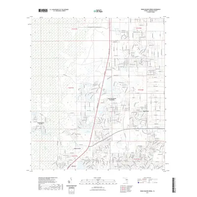
2023 Weeki Wachee Spring
Hernando County, FL
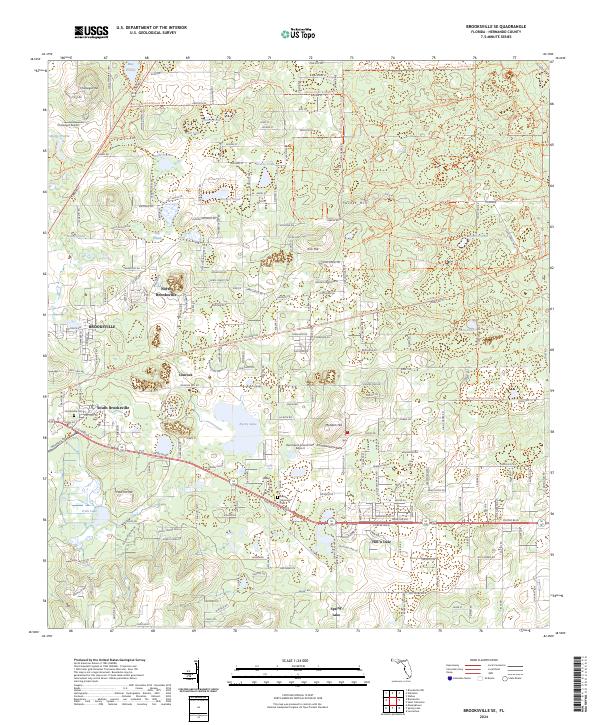
2024 Brooksville SE
Hernando County, FL
2024 Chassahowitzka Bay
Hernando County, FL
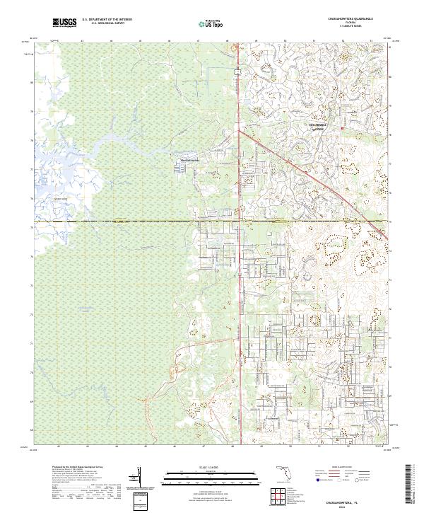
2024 Chassahowitzka
Hernando County, FL
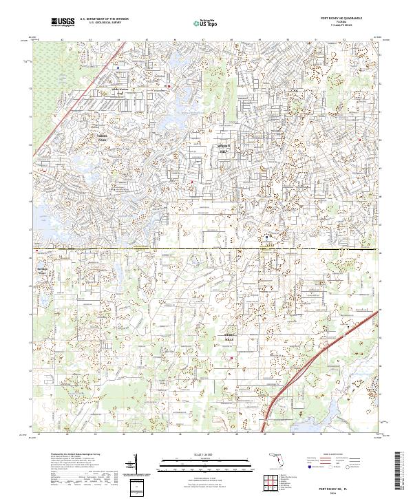
2024 Port Richey NE
Hernando County, FL
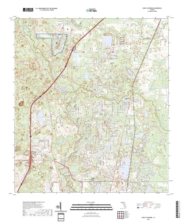
2024 Saint Catherine
Hernando County, FL
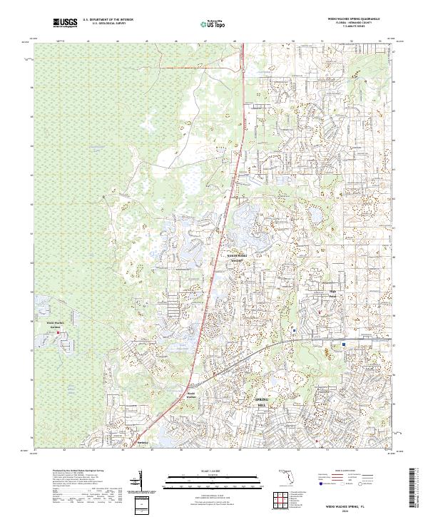
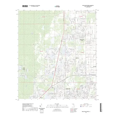
2024 Weeki Wachee Spring
Hernando County, FL
2025 Chassahowitzka Bay
Hernando County, FL