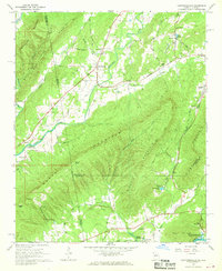
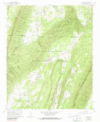
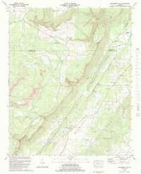
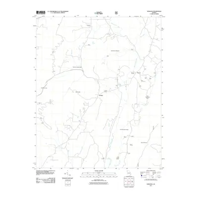
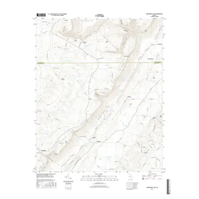
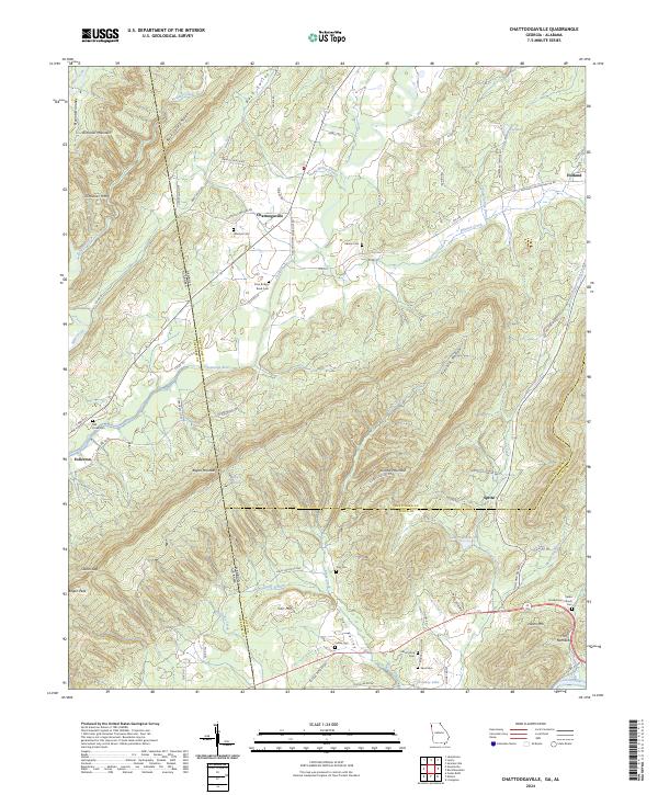
1967 Map of Chattoogaville
USGS Topo · Published 1968About this map
The Chattooga River winds through the borderlands of Georgia and Alabama in this late 1960s survey, illustrating a landscape defined by sharp ridges and fertile valleys. The community of Chattoogaville serves as a central point, surrounded by agricultural settlements like Hinton and Fullerton. This period shows the influence of the Central of Georgia RR along the eastern edge, while the western portion is dominated by the looming heights of Dirt Seller Mountain and the deep Back Valley.
Find a feature on this map
67 named features on this map. Tap any name to fly to it.
Don’t see what you’re looking for? This feature index may not catch every label — zoom into the map to look around manually.
Map Details
Editions of this 1967 Chattoogaville Map
This is the sole edition of this map. No revisions or reprints were ever made.
Historical Maps of Fullerton Through Time
21 maps found
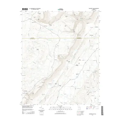
1936 Dougherty Gap
Chattooga County, GA
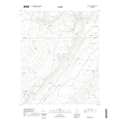
1946 Dougherty Gap
Chattooga County, GA
1947 Dougherty Gap
Chattooga County, GA
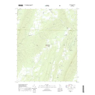
1967 Chattoogaville
Chattooga County, GA
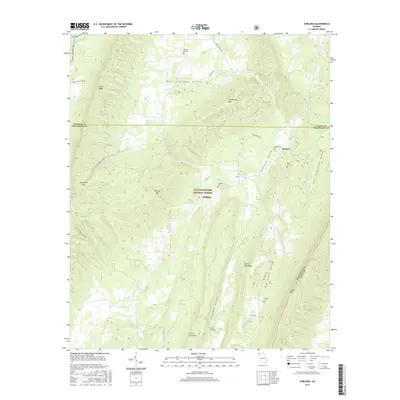
1967 Subligna
Chattooga County, GA
1983 Dougherty Gap
Chattooga County, GA
2011 Chattoogaville
Chattooga County, GA
2011 Dougherty Gap
Chattooga County, GA
2011 Subligna
Chattooga County, GA

2014 Chattoogaville
Chattooga County, GA
2014 Dougherty Gap
Chattooga County, GA
2014 Subligna
Chattooga County, GA
2017 Chattoogaville
Chattooga County, GA
2017 Dougherty Gap
Chattooga County, GA
2017 Subligna
Chattooga County, GA

2020 Chattoogaville
Chattooga County, GA
2020 Dougherty Gap
Chattooga County, GA
2020 Subligna
Chattooga County, GA
2024 Chattoogaville
Chattooga County, GA
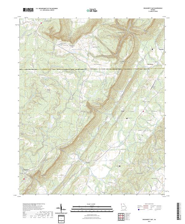
2024 Dougherty Gap
Chattooga County, GA
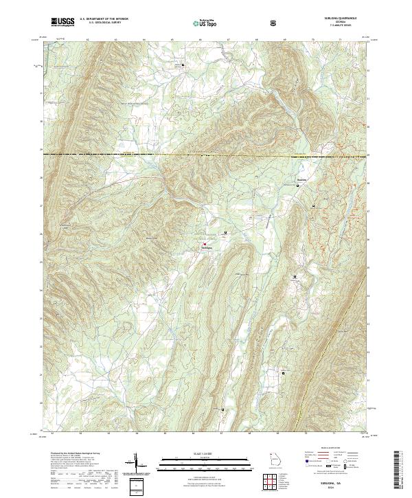
2024 Subligna
Chattooga County, GA