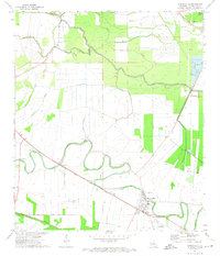
1972 Map of Cheneyville
USGS Topo · Published 1974About this map
Bayou Boeuf meanders through this agricultural landscape, anchoring the settlement of Cheneyville where the Texas and Pacific and Southern Pacific railroads once intersected. This 1970s survey illustrates a rural Louisiana parish shaped by its waterways and transport lines, featuring the Cheneyville Landing Strip and a significant Fish Farm near Chatlin Lake Canal. Local heritage is preserved in sites like St Samuel Ch, Union Chapel, and the Stafford Cem. The infrastructure reflects a managed water system, including the Boeuf Cocodrie Diversion Channel and various bayous like Rouge Bayou and Wilson Bayou. The proximity of the settlements Roxana and Echo near Wilson Lake highlights the traditional clustering of communities along fertile river corridors and rail sidings.
Find a feature on this map
30 named features on this map. Tap any name to fly to it.
Don’t see what you’re looking for? This feature index may not catch every label — zoom into the map to look around manually.
Map Details
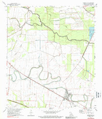
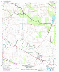
Editions of this 1972 Cheneyville Map
3 editions found
Other maps of this area

1935 · Turkey Creek
USGS Topo · 1:62,500

1935 · Lecompte
USGS Topo · 1:62,500

1940 · Marksville
USGS Topo · 1:62,500

1948 · Bunkie
USGS Topo · 1:62,500

1949 · Turkey Creek
USGS Topo · 1:62,500

1952 · Lake Charles
USGS Topo · 1:250,000

1953 · Alexandria
USGS Topo · 1:250,000

1954 · Lake Charles
USGS Topo · 1:250,000

1955 · Alexandria
USGS Topo · 1:250,000

1957 · Lecompte
USGS Topo · 1:62,500