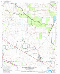
1972 Map of Cheneyville
USGS Topo · Published 1992About this map
Bayou Boeuf meanders through this portion of Rapides Parish, defining a landscape of intricate waterways and agricultural development. The settlement of Cheneyville serves as a primary hub, situated near the Boeuf River Base Line. The map reveals a complex network of bayous including Pompey Bayou, Calahan Bayou, and Cowhead Bayou, which historically dictated the pattern of local land use and transit.
Find a feature on this map
32 named features on this map. Tap any name to fly to it.
Don’t see what you’re looking for? This feature index may not catch every label — zoom into the map to look around manually.
Map Details
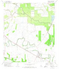
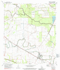
Editions of this 1972 Cheneyville Map
3 editions found
Other maps of this area

1935 · Turkey Creek
USGS Topo · 1:62,500

1935 · Lecompte
USGS Topo · 1:62,500

1940 · Marksville
USGS Topo · 1:62,500

1948 · Bunkie
USGS Topo · 1:62,500

1949 · Turkey Creek
USGS Topo · 1:62,500

1952 · Lake Charles
USGS Topo · 1:250,000

1953 · Alexandria
USGS Topo · 1:250,000

1954 · Lake Charles
USGS Topo · 1:250,000

1955 · Alexandria
USGS Topo · 1:250,000

1957 · Lecompte
USGS Topo · 1:62,500