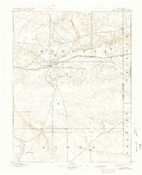
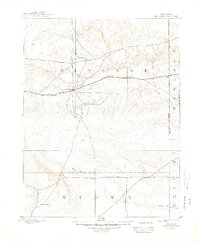
1894 Map of Cheyenne Wells
USGS Topo · Published 1936About this map
Cheyenne Wells serves as a critical railroad hub in the high plains of eastern Colorado, positioned where the Union Pacific Railroad cuts a straight line through the semi-arid landscape. Surveyed in 1890, this terrain shows the early infrastructure of Cheyenne and Kiowa counties, where water sources dictated the path of settlement. The network of intermittent drainages, including the Smoky Hill River, Ladder Creek, and White Woman Creek, defines the geography of this frontier region. Near the Colorado Kansas Boundary Line, the small community of Arapahoe sits as a lonely outpost along the tracks. To the south, the isolated label for Water Valley near Big Sandy Creek marks one of the few named locales in an area otherwise dominated by the vast, open contours of the High Plains.
Find a feature on this map
15 named features on this map. Tap any name to fly to it.
Don’t see what you’re looking for? This feature index may not catch every label — zoom into the map to look around manually.
Map Details
Editions of this 1894 Cheyenne Wells Map
6 editions found
Other maps of this area

1890 · Granada
USGS Topo · 1:125,000

1891 · Kit Carson
USGS Topo · 1:125,000

1892 · Lamar
USGS Topo · 1:125,000

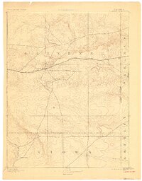
1892 · Cheyenne Wells
USGS Topo · 1:125,000

1892 · Granada
USGS Topo · 1:125,000

1893 · Kit Carson
USGS Topo · 1:125,000

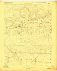
1894 · Cheyenne Wells
USGS Topo · 1:125,000

1894 · Granada
USGS Topo · 1:125,000

1954 · Limon
USGS Topo · 1:250,000

1954 · Lamar
USGS Topo · 1:250,000