
1901 Map of Chicago
USGS Topo · Published 1901About this map
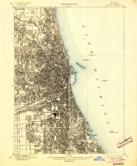
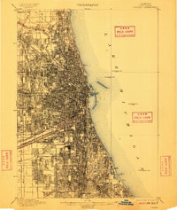
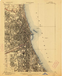
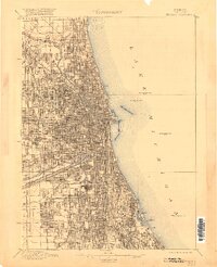
The North Branch Chicago River and the South Branch Chicago River define the internal geography of a rapidly densifying metropolis at the turn of the century. This survey, conducted primarily in the 1890s, documents the city's intricate gridiron expansion and the critical transition between two major industrial waterways: the historic Illinois and Michigan Canal and the newly constructed Sanitary and Ship Canal. The map reveals the extensive rail infrastructure required to support this growth, featuring lines such as the C. and N. W. R. R. and the Illinois Central R. R. cutting through established neighborhoods and developing fringes. Significant green spaces like Jackson Park and Washington Park provide a counterpoint to the industrial corridors, while massive memorial grounds including Rose Hill Cemetery and Graceland Cem. anchor the northern reaches of the city.
Find a feature on this map
31 named features on this map. Tap any name to fly to it.
Don’t see what you’re looking for? This feature index may not catch every label — zoom into the map to look around manually.
Map Details
Editions of this 1901 Chicago Map
5 editions found
Other maps of this area

1889 · Chicago
USGS Topo · 1:62,500

1890 · Des Plaines
USGS Topo · 1:62,500

1891 · Chicago
USGS Topo · 1:62,500

1891 · Riverside
USGS Topo · 1:62,500

1892 · Calumet
USGS Topo · 1:62,500

1893 · Calumet
USGS Topo · 1:62,500

1893 · Riverside
USGS Topo · 1:62,500

1894 · Des Plaines
USGS Topo · 1:62,500

1899 · Evanston
USGS Topo · 1:62,500

1900 · Chicago
USGS Topo · 1:62,500