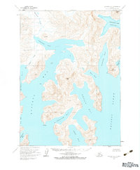
1963 Map of Chignik A-2
USGS Topo · Published 1983About this map
Deep maritime indentations and high coastal peaks characterize this 1963 topographic study of the Alaska Peninsula. The complex coastline is dominated by the sprawling Kuiukta Bay and Portage Bay, which reach far inland toward the heights of Chignik Mtn. The terrain is marked by sharp vertical relief, rising from the Pacific Ocean to prominent landmarks like Virgin Peak and Ship Mountain.
Find a feature on this map
28 named features on this map. Tap any name to fly to it.
Don’t see what you’re looking for? This feature index may not catch every label — zoom into the map to look around manually.
Map Details
Editions of this 1963 Chignik A-2 Map
2 editions found
Other maps of this area

1951 · Stepovak Bay
USGS Topo · 1:250,000

1963 · Stepovak Bay D-2
USGS Topo · 1:63,360

1963 · Chignik B-2
USGS Topo · 1:63,360

1963 · Chignik B-1
USGS Topo · 1:63,360

1963 · Chignik A-2
USGS Topo · 1:63,360
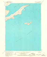
1963 · Chignik A-1
USGS Topo · 1:63,360

1963 · Chignik A-3
USGS Topo · 1:63,360

1963 · Chignik B-3
USGS Topo · 1:63,360

1963 · Chignik
USGS Topo · 1:250,000
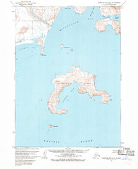
1963 · Stepovak Bay D-3
USGS Topo · 1:63,360