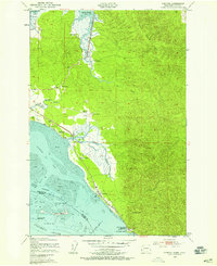
1949 Map of Chinook
USGS Topo · Published 1958About this map
The Columbia River estuary meets the Pacific coast in this late 1940s topography, revealing a landscape defined by tidal flats and historic ranching settlements. The town of Chinook sits at the base of Scarboro Hill, adjacent to the strategic Fort Columbia Military Reservation and Chinook Point. This coastal corridor features a network of family-owned lands, including Goulter Ranch, Kyle Ranch, and Lewis Ranch, which occupy the lowlands near the Bear River and Wallacut River.
Find a feature on this map
33 named features on this map. Tap any name to fly to it.
Don’t see what you’re looking for? This feature index may not catch every label — zoom into the map to look around manually.
Map Details
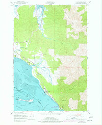
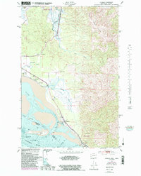
Editions of this 1949 Chinook Map
4 editions found
Other maps of this area

1919 · Astoria
USGS Topo · 1:62,500

1938 · Cape Disappointment
USGS Topo · 1:62,500

1938 · Fort Columbia
USGS Topo · 1:62,500

1939 · Astoria
USGS Topo · 1:62,500

1943 · Fort Columbia
USGS Topo · 1:62,500

1943 · Copalis Beach
USGS Topo · 1:250,000

1949 · Astoria
USGS Topo · 1:24,000

1949 · Chinook
USGS Topo · 1:24,000

1949 · Oman Ranch
USGS Topo · 1:24,000

1949 · Knappton
USGS Topo · 1:24,000