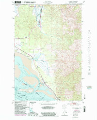
1949 Map of Chinook
USGS Topo · Published 1985About this map
Chinook and the adjacent Stringtown occupy a vital stretch of the Columbia River estuary where the water meets the shore of Baker Bay. This 1949 survey, with revisions from the early 1980s, illustrates a landscape defined by the transition from the timbered heights of Bear River Ridge to the low-lying wetlands of the Willapa National Wildlife Refuge. The map details a coastal economy reliant on both land and sea, featuring named agricultural holdings like Kyle Ranch and Goulter Ranch alongside maritime infrastructure such as the Chinook Jetty. In the south, the strategic positioning of Fort Columbia State Park on Scarboro Hill overlooks the Ilwaco Channel, marking the historic entrance to the river. Land use patterns here show a mix of ranching and early aviation, represented by the Port of Ilwaco Airport along Airport Road.
Find a feature on this map
25 named features on this map. Tap any name to fly to it.
Don’t see what you’re looking for? This feature index may not catch every label — zoom into the map to look around manually.
Map Details
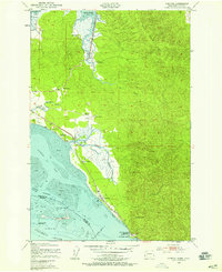
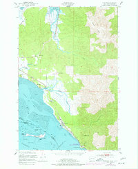
Editions of this 1949 Chinook Map
4 editions found
Other maps of this area

1919 · Astoria
USGS Topo · 1:62,500

1938 · Cape Disappointment
USGS Topo · 1:62,500

1938 · Fort Columbia
USGS Topo · 1:62,500

1939 · Astoria
USGS Topo · 1:62,500

1943 · Fort Columbia
USGS Topo · 1:62,500

1943 · Copalis Beach
USGS Topo · 1:250,000

1949 · Astoria
USGS Topo · 1:24,000

1949 · Chinook
USGS Topo · 1:24,000

1949 · Oman Ranch
USGS Topo · 1:24,000

1949 · Knappton
USGS Topo · 1:24,000