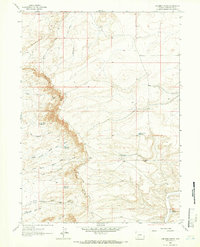
1963 Map of Chrisman Ranch
USGS Topo · Published 1966About this map
The Chrisman Ranch serves as a lone namesake landmark in this remote corner of Sweetwater County, which was surveyed at the start of the 1960s. The landscape is defined by the striking escarpment of the Blue Rim, a geological boundary that separates the high plateau from the eroded drainage systems below. This area is characterized by a network of seasonal watercourses, including Starvation Wash and Otterson Wash, which cut through the Badlands Hills.
Find a feature on this map
21 named features on this map. Tap any name to fly to it.
Don’t see what you’re looking for? This feature index may not catch every label — zoom into the map to look around manually.
Map Details
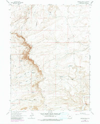
Editions of this 1963 Chrisman Ranch Map
2 editions found
Other maps of this area

1954 · Rock Springs
USGS Topo · 1:250,000

1958 · Rock Springs
USGS Topo · 1:250,000

1961 · Scott Spring
USGS Topo · 1:24,000

1961 · Austin Ranch
USGS Topo · 1:24,000

1961 · Stevens Flat
USGS Topo · 1:24,000

1962 · Rock Springs
USGS Topo · 1:250,000

1963 · Gasson Bridge
USGS Topo · 1:24,000

1963 · Pittman Well
USGS Topo · 1:24,000

1963 · Big Island Bridge
USGS Topo · 1:24,000

1968 · Clay Buttes
USGS Topo · 1:24,000