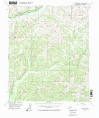
1954 Map of Circle A-6
USGS Topo · Published 1972About this map
Davidson Ditch parallels the Steese Highway through the northern portion of this interior Alaskan landscape, tracing a line above the Chatanika River. This man-made waterway represents a significant engineering feat for the gold mining era, designed to bring water to distant hydraulic mining operations. The terrain is defined by a dense network of drainages, including the Little Chena River and Bonanza Creek, which carve through the high ground marked by landmarks like Twin Buttes.
Find a feature on this map
28 named features on this map. Tap any name to fly to it.
Don’t see what you’re looking for? This feature index may not catch every label — zoom into the map to look around manually.
Map Details
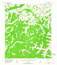
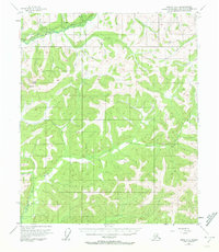
Editions of this 1954 Circle A-6 Map
4 editions found

Other maps of this area

1945 · Livengood
USGS Topo · 1:250,000

1949 · Fairbanks D-1
USGS Topo · 1:62,500

1950 · Fairbanks
USGS Topo · 1:250,000

1950 · Big Delta
USGS Topo · 1:250,000

1950 · Big Delta D-6
USGS Topo · 1:63,360

1951 · Big Delta
USGS Topo · 1:250,000

1951 · Fairbanks
USGS Topo · 1:250,000

1951 · Livengood
USGS Topo · 1:250,000

1951 · Circle
USGS Topo · 1:250,000

1951 · Circle A-5
USGS Topo · 1:63,360