
1955 Map of Circle B-2
USGS Topo · Published 1959About this map
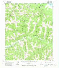
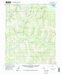
Circle Hot Springs (Circle Springs PO) serves as the primary outpost in this mid-century Alaskan interior landscape, featuring the Circle Hot Springs Airfield and a remote network of cabins and mines. The map records a significant gold mining legacy along the drainages of Deadwood Creek and Ketchem Creek, where numerous Placer Mines and isolated cabins are noted.
Find a feature on this map
44 named features on this map. Tap any name to fly to it.
Don’t see what you’re looking for? This feature index may not catch every label — zoom into the map to look around manually.
Map Details
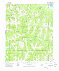
Editions of this 1955 Circle B-2 Map
4 editions found
Other maps of this area

1951 · Circle
USGS Topo · 1:250,000

1955 · Circle B-3
USGS Topo · 1:63,360

1955 · Circle C-3
USGS Topo · 1:63,360

1955 · Circle A-2
USGS Topo · 1:63,360

1955 · Circle A-1
USGS Topo · 1:63,360

1955 · Circle B-1
USGS Topo · 1:63,360

1955 · Circle C-2
USGS Topo · 1:63,360

1955 · Circle A-3
USGS Topo · 1:63,360

1955 · Circle C-1
USGS Topo · 1:63,360

1955 · Circle
USGS Topo · 1:250,000