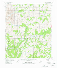
1954 Map of Circle B-5
USGS Topo · Published 1981About this map
The Chatanika River valley and its surrounding interior peaks dominate this landscape in the Fairbanks North Star Borough. A complex network of waterways, including the virtue-named trio of Faith Creek, Hope Creek, and Charity Creek, flows through the region, supporting the area's mining and transport history. The presence of the Davidson Ditch, a major historic water conduit, and its associated Flume illustrate the extensive infrastructure required for industrial operations in this remote environment.
Find a feature on this map
34 named features on this map. Tap any name to fly to it.
Don’t see what you’re looking for? This feature index may not catch every label — zoom into the map to look around manually.
Map Details
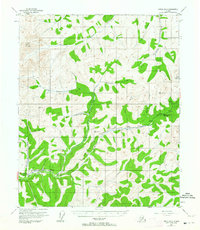
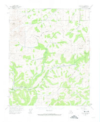
Editions of this 1954 Circle B-5 Map
4 editions found

Other maps of this area

1951 · Circle
USGS Topo · 1:250,000

1951 · Circle A-5
USGS Topo · 1:63,360

1951 · Circle C-6
USGS Topo · 1:63,360

1952 · Circle A-4
USGS Topo · 1:63,360

1952 · Circle B-4
USGS Topo · 1:63,360

1952 · Circle C-4
USGS Topo · 1:63,360

1952 · Circle C-5
USGS Topo · 1:63,360

1952 · Circle A-5
USGS Topo · 1:63,360

1954 · Circle C-5
USGS Topo · 1:63,360

1954 · Circle A-6
USGS Topo · 1:63,360