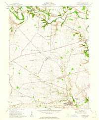
1961 Map of Clarksburg
USGS Topo · Published 1963About this map
Atlanta and Clarksburg anchor this agricultural landscape in the early 1960s, a region defined by the winding course of Deer Creek and the steel path of the Pennsylvania RR. The map reveal a dense network of family heritage, preserved through numerous small burial grounds such as the Grant Campbell Farm Cem and Lewis Farm Cem. These family-named landmarks, along with others like the Anton Kellar Farm Cem, provide a precise geographical record of the families who settled this portion of the Virginia Military District. The settlement pattern follows the fertile valleys of Brush Creek and Plum Run, while the higher ground of Tick Ridge overlooks the intersection of local routes like Dublin Hill Road and Locust Grove Road. This survey documents a transitional era for rural Ross and Pickaway Counties before more modern land-use changes.
Find a feature on this map
53 named features on this map. Tap any name to fly to it.
Don’t see what you’re looking for? This feature index may not catch every label — zoom into the map to look around manually.
Map Details
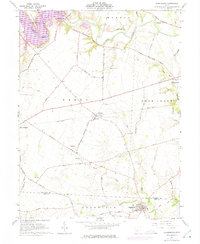
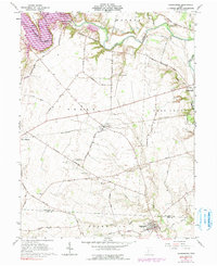
Editions of this 1961 Clarksburg Map
3 editions found
Other maps of this area

1906 · Mt Sterling
USGS Topo · 1:62,500

1911 · Era
USGS Topo · 1:62,500

1912 · Roxabell
USGS Topo · 1:62,500

1913 · Era
USGS Topo · 1:62,500

1914 · Roxabell
USGS Topo · 1:62,500

1917 · Greenfield
USGS Topo · 1:62,500

1943 · Era
USGS Topo · 1:62,500

1944 · Greenfield
USGS Topo · 1:62,500

1944 · Roxabell
USGS Topo · 1:62,500

1947 · Columbus
USGS Topo · 1:250,000