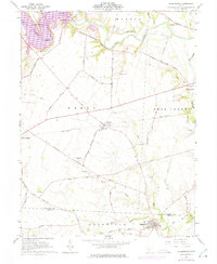
1961 Map of Clarksburg
USGS Topo · Published 1975About this map
Clarksburg and the surrounding farmland of the Virginia Military District define this 1961 landscape at the boundary of Pickaway and Ross counties. The map reveals a deeply rooted agricultural economy, illustrated by numerous family cemeteries and the remnant infrastructure of the Penn Central railroad passing through Atlanta and New Holland. Along the meandering course of Deer Creek, small settlements like Crownover Mill and Williamsport represent the long-standing water-and-road network of the region. The detailed inclusion of farm-bound cemeteries, such as the Hinton Farm Cem and Grant Campbell Farm Cem, offers significant value for genealogists tracing early settlers in these townships. The intricate web of named country roads, including Judas Road and Dick Road, provides a clear view of the rural township structure before late twentieth-century development.
Find a feature on this map
58 named features on this map. Tap any name to fly to it.
Don’t see what you’re looking for? This feature index may not catch every label — zoom into the map to look around manually.
Map Details
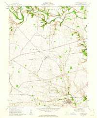
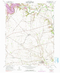
Editions of this 1961 Clarksburg Map
3 editions found
Other maps of this area

1906 · Mt Sterling
USGS Topo · 1:62,500

1911 · Era
USGS Topo · 1:62,500

1912 · Roxabell
USGS Topo · 1:62,500

1913 · Era
USGS Topo · 1:62,500

1914 · Roxabell
USGS Topo · 1:62,500

1917 · Greenfield
USGS Topo · 1:62,500

1943 · Era
USGS Topo · 1:62,500

1944 · Greenfield
USGS Topo · 1:62,500

1944 · Roxabell
USGS Topo · 1:62,500

1947 · Columbus
USGS Topo · 1:250,000