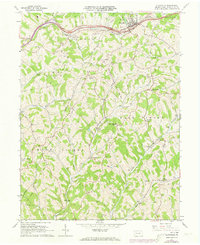
1964 Map of Claysville
USGS Topo · Published 1973About this map
The Baltimore and Ohio railroad corridor anchors the northern edge of this Washington County landscape, cutting through Claysville just as it did for generations. The surrounding terrain of Donegal and West Finley townships is defined by a dense network of stream valleys, where family names and community landmarks like Sampson Hill and Mosier Hill overlook the winding Robinson Fork and Dutch Fork.
Find a feature on this map
35 named features on this map. Tap any name to fly to it.
Don’t see what you’re looking for? This feature index may not catch every label — zoom into the map to look around manually.
Map Details
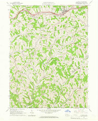
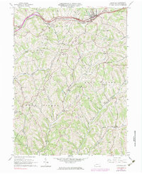
Editions of this 1964 Claysville Map
Other maps of this area

1902 · Wheeling
USGS Topo · 1:62,500

1904 · Cameron
USGS Topo · 1:62,500

1905 · Rogersville
USGS Topo · 1:62,500

1907 · Claysville
USGS Topo · 1:62,500

1935 · Cameron
USGS Topo · 1:62,500

1935 · Wheeling
USGS Topo · 1:62,500

1942 · Cameron
USGS Topo · 1:62,500

1942 · Wheeling
USGS Topo · 1:62,500

1949 · Clarksburg
USGS Topo · 1:250,000

1951 · Canton
USGS Topo · 1:250,000
Featured Places
- East Finley Township, PA
- West Finley Township, PA
- Claysville, PA
- Coon Island, Donegal Township
- Buffalo Township, PA