
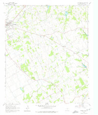
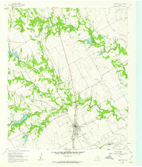
1960 Map of Cleburne East
USGS Topo · Published 1963About this map
The eastern reaches of Cleburne and its surrounding rural prairies are documented here during a period of steady mid-century growth in Johnson County. This survey highlights the deep-rooted community structure of the Texas Blackland Prairies, where numerous small congregations and country schools served local farmsteads. Features like the Liberty Chapel Sch, Prince Chapel, and Friendship Ch mark these social hubs, while the extensive Cleburne Memorial Park and several historic burial grounds, including Rose Hill Cem and Faulkenbury Cem, provide significant landmarks for genealogical research. The landscape is defined by the winding paths of Mustang Creek and Buffalo Creek, which drain toward the South Fork Chambers Creek. Transportation networks are prominent, showing the active Gulf Colorado and Santa Fe line contrasted with an Old Railroad Grade, tracing the evolution of rail travel in the region.
Find a feature on this map
29 named features on this map. Tap any name to fly to it.
Don’t see what you’re looking for? This feature index may not catch every label — zoom into the map to look around manually.
Map Details
Editions of this 1960 Cleburne East Map
4 editions found
Other maps of this area

1891 · Cleburne
USGS Topo · 1:125,000

1894 · Cleburne
USGS Topo · 1:125,000

1924 · Cleburne 3-B
USGS Topo · 1:48,000

1927 · Blum
USGS Topo · 1:62,500

1954 · Dallas
USGS Topo · 1:250,000

1958 · Dallas
USGS Topo · 1:250,000

1960 · Keene
USGS Topo · 1:24,000
1961 · Cleburne West
USGS Topo · 1:24,000

1961 · Alvarado
USGS Topo · 1:24,000
1961 · Grandview
USGS Topo · 1:24,000