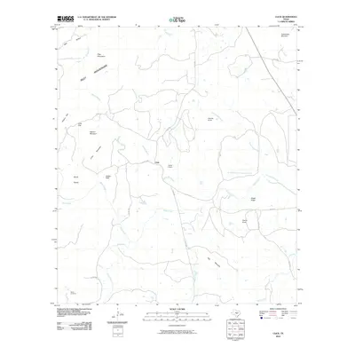
2010 Map of Click
USGS Topo · Published 2010About this map
The small settlement of Click serves as the central landmark for this portion of the Texas Hill Country, situated where the Riley Mountains meet a complex network of drainage basins. The landscape is defined by its numerous named peaks and ridges, including the prominent Packsaddle Mountain and Watson Mountain, alongside the curiously named Devils Toenail. Water follows the topography through several major arteries like Sandy Creek, Coal Creek, and Comanche Creek, illustrating the natural drainage patterns of Llano County.
Find a feature on this map
33 named features on this map. Tap any name to fly to it.
Don’t see what you’re looking for? This feature index may not catch every label — zoom into the map to look around manually.
Map Details
Editions of this 2010 Click Map
This is the sole edition of this map. No revisions or reprints were ever made.
Other maps of this area

1887 · Llano
USGS Topo · 1:125,000

1887 · Blanco
USGS Topo · 1:125,000

1887 · Burnet
USGS Topo · 1:125,000

1893 · Burnet
USGS Topo · 1:125,000

1894 · Fredericksburg
USGS Topo · 1:125,000

1894 · Blanco
USGS Topo · 1:125,000

1894 · Llano
USGS Topo · 1:125,000

1903 · Burnet
USGS Topo · 1:125,000

1904 · Llano
USGS Topo · 1:125,000

1909 · Llano
USGS Topo · 1:125,000