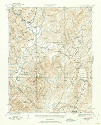
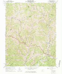
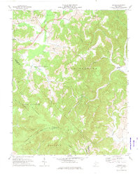
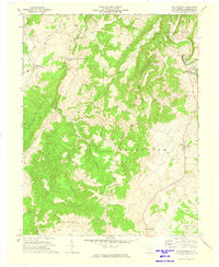
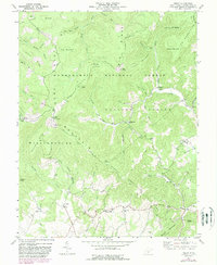
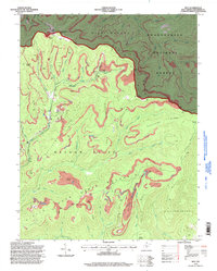
1923 Map of Clintonville
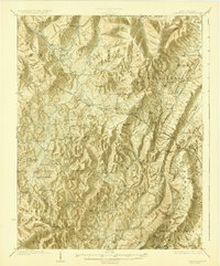
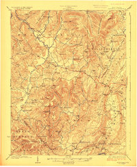
USGS Topo · Published 1923This historical map portrays the area of Clintonville in 1923, primarily covering Greenbrier County as well as portions of Fayette County and Summers County. Featuring a scale of 1:62500, this map provides a highly detailed snapshot of the terrain, roads, buildings, counties, and historical landmarks in the Clintonville region at the time. Published in 1923, it is one of 2 known editions of this map due to revisions or reprints.
Find a feature on this map
114 named features on this map. Tap any name to fly to it.
Don’t see what you’re looking for? This feature index may not catch every label — zoom into the map to look around manually.
Map Details
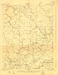
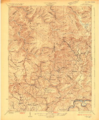
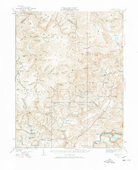
Editions of this 1923 Clintonville Map
2 editions found
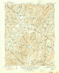
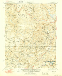
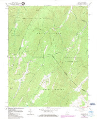
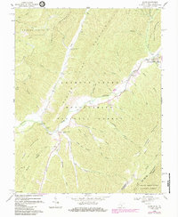
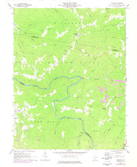
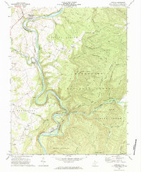
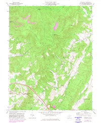
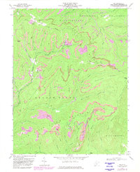
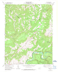
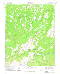
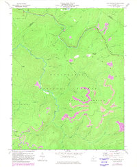
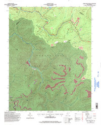
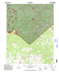
Historical Maps of Crag Through Time
28 maps found

1921 Clintonville
Greenbrier County, WV
1923 Clintonville
Greenbrier County, WV
1923 Lobelia
Greenbrier County, WV
1925 Lobelia
Greenbrier County, WV
1935 Clintonville
Greenbrier County, WV
1935 Lobelia
Greenbrier County, WV
1939 Clintonville
Greenbrier County, WV
1939 Lobelia
Greenbrier County, WV
1964 Asbury
Greenbrier County, WV
1966 Glace
Greenbrier County, WV
1969 Alvon
Greenbrier County, WV
1969 Corliss
Greenbrier County, WV
1971 Dawson
Greenbrier County, WV
1972 Anthony
Greenbrier County, WV

1972 Asbury
Greenbrier County, WV
1972 Cornstalk
Greenbrier County, WV
1972 Duo
Greenbrier County, WV
1972 Williamsburg
Greenbrier County, WV
1973 Droop
Greenbrier County, WV
1977 Droop
Greenbrier County, WV
1977 Fork Mountain
Greenbrier County, WV
1977 Trout
Greenbrier County, WV
1995 Alvon
Greenbrier County, WV
1995 Anthony
Greenbrier County, WV
1995 Droop
Greenbrier County, WV
1995 Duo
Greenbrier County, WV
1995 Fork Mountain
Greenbrier County, WV
1995 Trout
Greenbrier County, WV