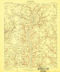
1909 Map of Coharie
USGS Topo · Published 1909This historical map portrays the area of Coharie in 1909, primarily covering Sampson County as well as portions of Wayne County. Featuring a scale of 1:62500, this map provides a highly detailed snapshot of the terrain, roads, buildings, counties, and historical landmarks in the Coharie region at the time. Published in 1909, it is one of 3 known editions of this map due to revisions or reprints.
Find a feature on this map
70 named features on this map. Tap any name to fly to it.
Don’t see what you’re looking for? This feature index may not catch every label — zoom into the map to look around manually.
Map Details
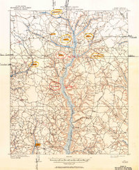
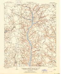
Editions of this 1909 Coharie Map
3 editions found
Historical Maps of Timothy Through Time
12 maps found
1909 Coharie
Sampson County, NC
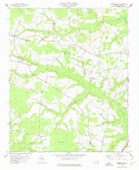
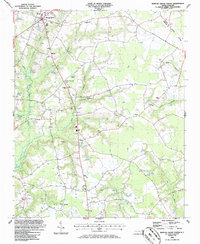
1974 Mingo
Sampson County, NC
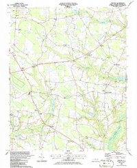
1978 Dobbersville
Sampson County, NC
1986 Bearskin
Sampson County, NC
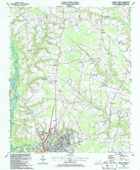
1986 Clinton North
Sampson County, NC
1986 Clinton South
Sampson County, NC
1986 Newton Grove South
Sampson County, NC
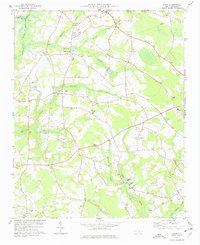
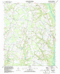
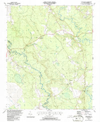
1986 Timothy
Sampson County, NC
1986 Tomahawk
Sampson County, NC
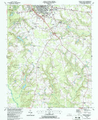
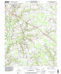
1997 Dobbersville
Sampson County, NC
1997 Newton Grove South
Sampson County, NC
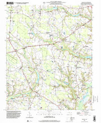
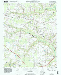
1997 Timothy
Sampson County, NC