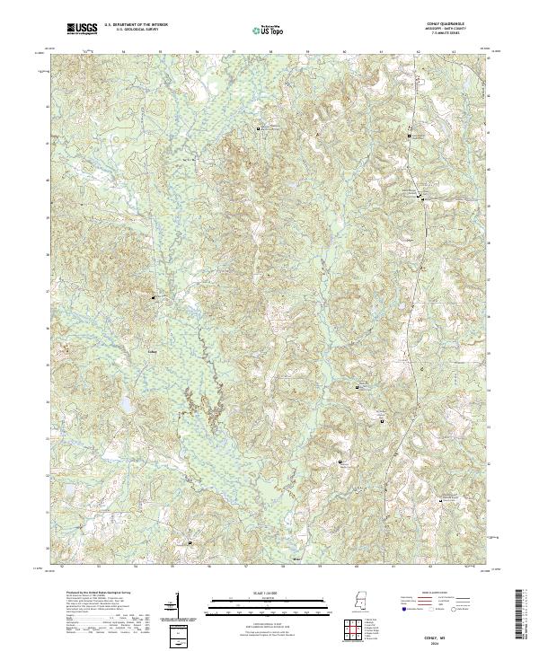
2024 Map of Cohay
USGS Topo · Published 2024About this map
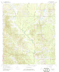
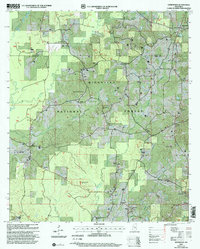
The community of Cohay sits at a crossroads of small local roads, surrounded by a complex network of waterways including Oka-hay Creek and Hatchapaloo Creek. This area of Smith County is characterized by a dense concentration of religious and funerary sites, reflecting a deeply rooted local heritage. Multiple rural congregations, such as Wilkinson Memorial Baptist Church and the South Raleigh Christian Church, serve as focal points for the surrounding countryside.
Find a feature on this map
75 named features on this map. Tap any name to fly to it.
Don’t see what you’re looking for? This feature index may not catch every label — zoom into the map to look around manually.
Map Details
Editions of this 2024 Cohay Map
This is the sole edition of this map. No revisions or reprints were ever made.
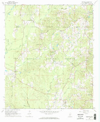
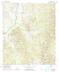
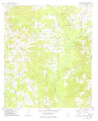
Historical Maps of Mize Through Time
17 maps found
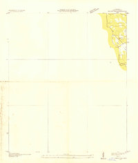
1935 White Oak
Smith County, MS
1968 Homewood
Smith County, MS
1968 Louin SW
Smith County, MS
1968 Pineville
Smith County, MS
1968 White Oak
Smith County, MS
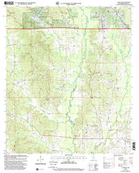
1975 Center Ridge
Smith County, MS

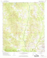
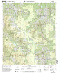
1975 Cohay
Smith County, MS
2000 Homewood
Smith County, MS
2000 Louin SW
Smith County, MS
2000 Pineville
Smith County, MS
2000 White Oak
Smith County, MS
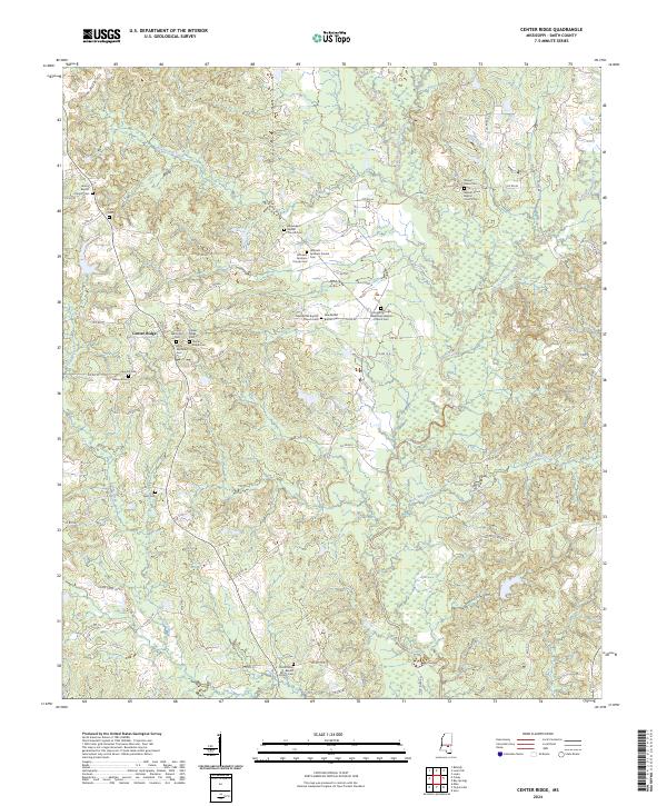
2024 Center Ridge
Smith County, MS
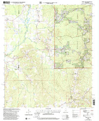
2024 Cohay
Smith County, MS
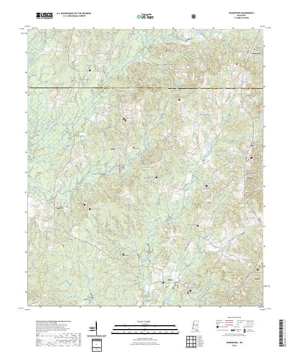
2024 Homewood
Smith County, MS
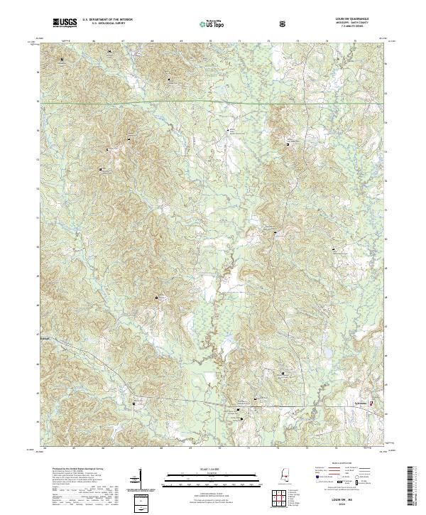
2024 Louin SW
Smith County, MS
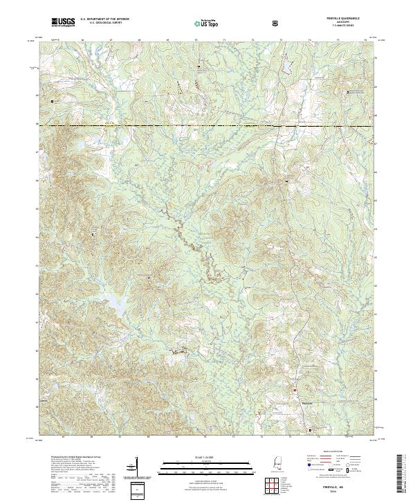
2024 Pineville
Smith County, MS
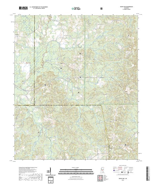
2024 White Oak
Smith County, MS