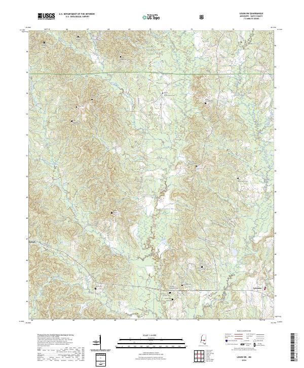
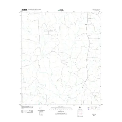
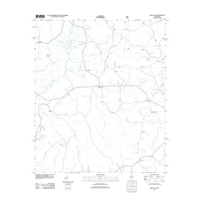
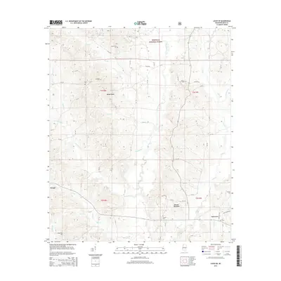
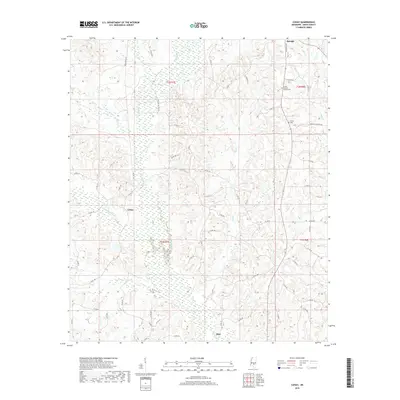
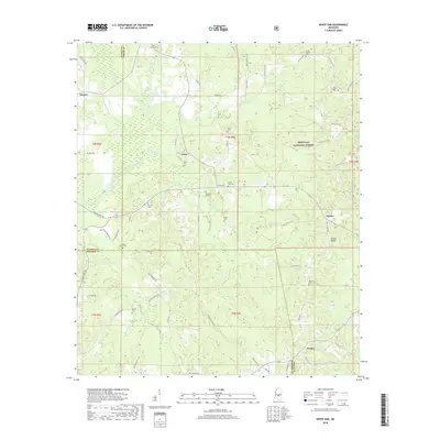
2024 Map of Louin SW
USGS Topo · Published 2024About this map
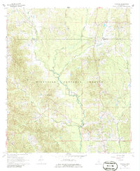
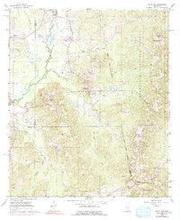
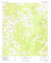
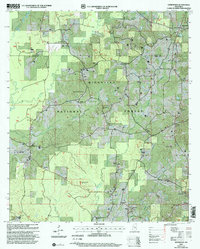
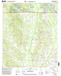
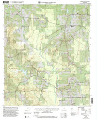
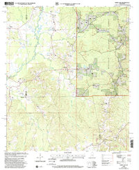
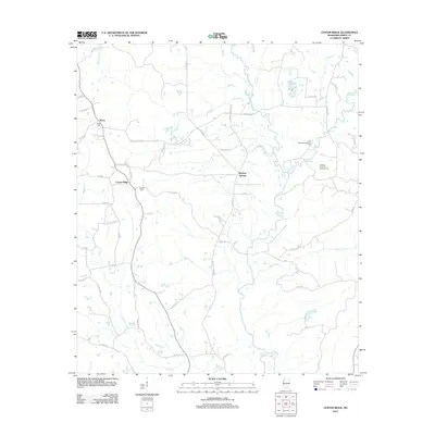
Bienville National Forest dominates the northern reaches of this Mississippi landscape, where the Leaf River carves a winding path through the central Smith County terrain. This modern survey captures a region defined by its dispersed rural heritage and numerous family-named landmarks. The settlement of Sylvarena serves as a local anchor in the southeast, while the outskirts of Raleigh appear along the western edge. The map is a significant resource for genealogists, documenting a dense network of country cemeteries and places of worship, including Mount Nebo Baptist Church Cem, Cedar Grove Methodist Cem, and the Jesus Name House of Prayer Cem. These sites, along with isolated markers like Old Henderson Cem and Royals and Webb Cem, reveal the deep-rooted family histories tied to the creek-fed valleys of Shongelo Creek and Tchusa Creek.
Find a feature on this map
79 named features on this map. Tap any name to fly to it.
Don’t see what you’re looking for? This feature index may not catch every label — zoom into the map to look around manually.
Map Details
Editions of this 2024 Louin SW Map
This is the sole edition of this map. No revisions or reprints were ever made.
Historical Maps of Raleigh Through Time
41 maps found
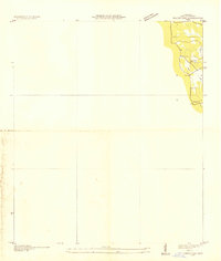
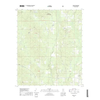
1935 White Oak
Smith County, MS
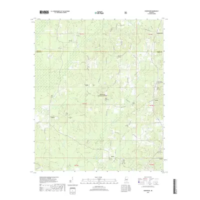
1968 Homewood
Smith County, MS
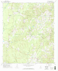
1968 Louin SW
Smith County, MS
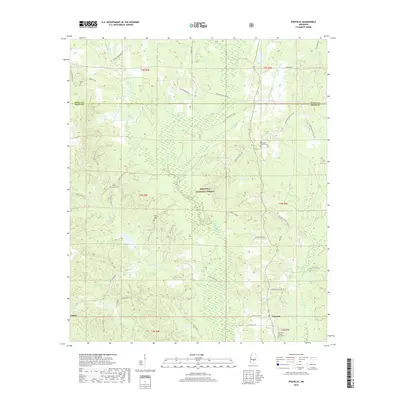
1968 Pineville
Smith County, MS
1968 White Oak
Smith County, MS
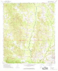
1975 Center Ridge
Smith County, MS

1975 Cohay
Smith County, MS
2000 Homewood
Smith County, MS
2000 Louin SW
Smith County, MS
2000 Pineville
Smith County, MS
2000 White Oak
Smith County, MS
2012 Center Ridge
Smith County, MS
2012 Cohay
Smith County, MS
2012 Homewood
Smith County, MS
2012 Louin SW
Smith County, MS
2012 Pineville
Smith County, MS
2012 White Oak
Smith County, MS
2015 Center Ridge
Smith County, MS
2015 Cohay
Smith County, MS
2015 Homewood
Smith County, MS
2015 Louin SW
Smith County, MS
2015 Pineville
Smith County, MS
2015 White Oak
Smith County, MS
2018 Center Ridge
Smith County, MS
2018 Cohay
Smith County, MS
2018 Homewood
Smith County, MS
2018 Louin SW
Smith County, MS
2018 Pineville
Smith County, MS
2018 White Oak
Smith County, MS
2020 Center Ridge
Smith County, MS
2020 Cohay
Smith County, MS
2021 Homewood
Smith County, MS
2021 Louin SW
Smith County, MS
2021 Pineville
Smith County, MS
2021 White Oak
Smith County, MS
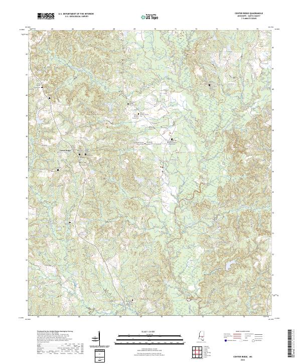
2024 Center Ridge
Smith County, MS
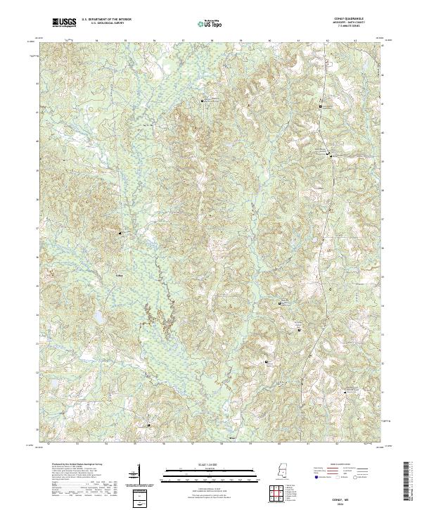
2024 Cohay
Smith County, MS
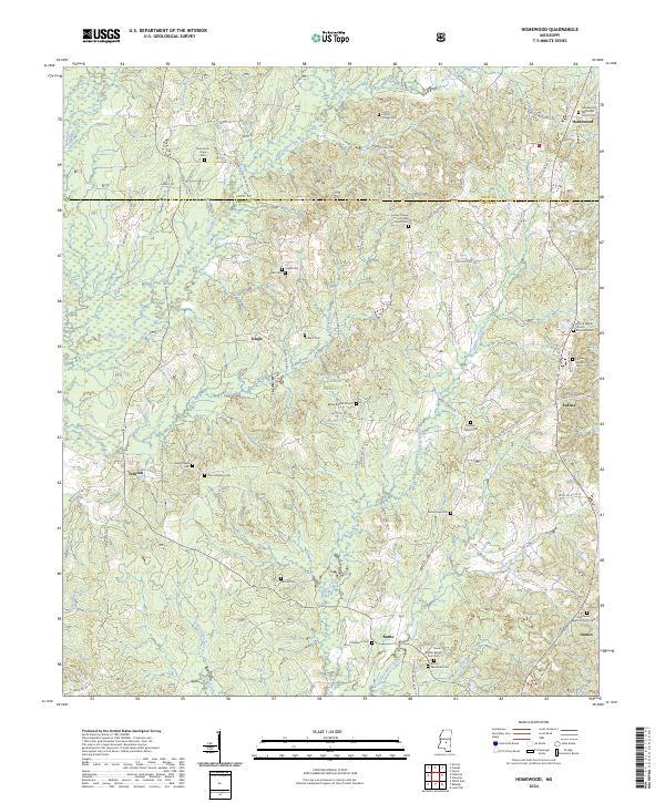
2024 Homewood
Smith County, MS
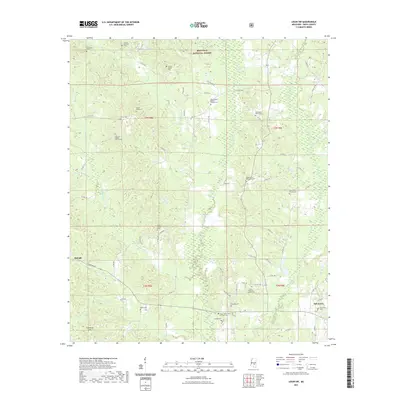
2024 Louin SW
Smith County, MS
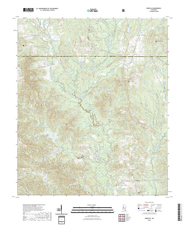
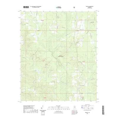
2024 Pineville
Smith County, MS
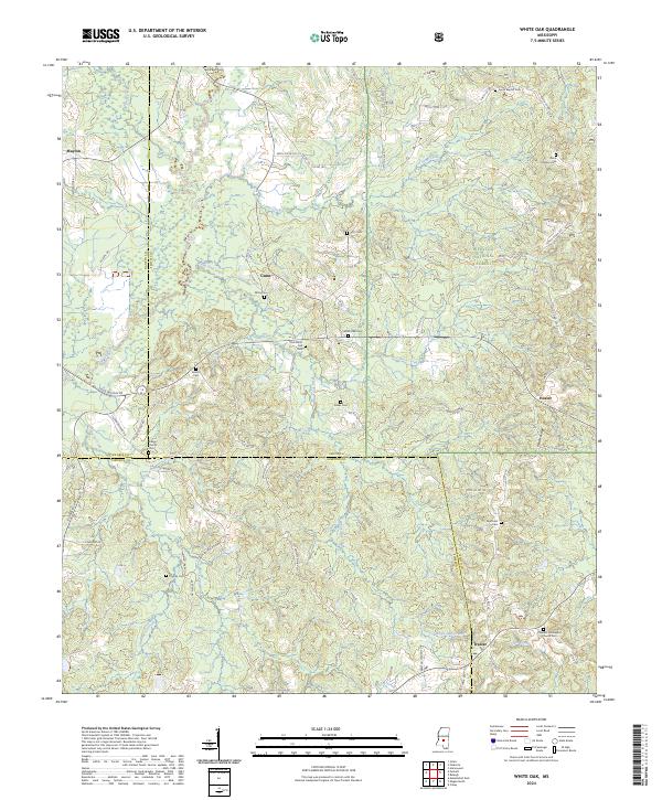
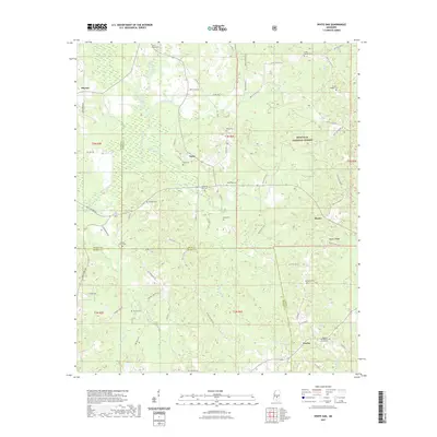
2024 White Oak
Smith County, MS