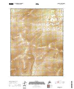
2018 Map of Coleen A-5 NE
USGS Topo · Published 2018About this map
Remote and largely unsettled, this 2018 survey conducted by the U.S. Geological Survey covers a section of the Yukon-Koyukuk Census Area in the Alaskan interior. The landscape is defined primarily by its complex hydrology and the underlying Public Land Survey System divisions, including t28n r21e and t27n r21e. While the map lacks named settlements or developed infrastructure, the detailed contour intervals from the National Elevation Dataset reveal a territory of intricate drainage patterns and expansive wetlands recorded by the FWS National Wetlands Inventory. This sheet serves as a primary record of the natural terrain and legal land divisions in a region where few permanent human markers exist.
Find a feature on this map
5 named features on this map. Tap any name to fly to it.
Don’t see what you’re looking for? This feature index may not catch every label — zoom into the map to look around manually.
Map Details
Editions of this 2018 Coleen A-5 NE Map
This is the sole edition of this map. No revisions or reprints were ever made.
Other maps of this area

1951 · Coleen
USGS Topo · 1:250,000

1956 · Coleen
USGS Topo · 1:250,000

1956 · Coleen A-5
USGS Topo · 1:63,360

1956 · Coleen A-4
USGS Topo · 1:63,360
1990 · Coleen B-5
USGS Topo · 1:63,360
1990 · Coleen B-4
USGS Topo · 1:63,360
2018 · Coleen A-5 SW
USGS Topo · 1:25,000
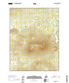
2018 · Coleen B-5 SW
USGS Topo · 1:25,000
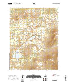
2018 · Coleen A-5 NW
USGS Topo · 1:25,000
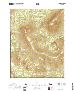
2018 · Coleen A-4 SW
USGS Topo · 1:25,000