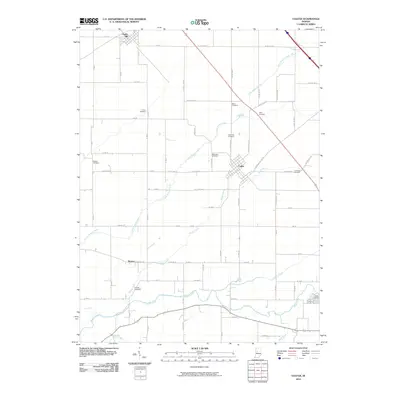
2010 Map of Colfax
USGS Topo · Published 2010About this map
Colfax serves as the central hub of this Indiana landscape, situated where the grid of county roads meets the winding path of Withe Creek. The map reveals a high concentration of burial sites reflecting the area's ancestral roots, including Union Cemetery, Davis Cemetery, and Shilo Cemetery scattered across the rural township. These small, family-linked landmarks are often found at the edge of agricultural sections, such as the Loveless Cemetery near W Hickory Rd.
Find a feature on this map
43 named features on this map. Tap any name to fly to it.
Don’t see what you’re looking for? This feature index may not catch every label — zoom into the map to look around manually.
Map Details
Editions of this 2010 Colfax Map
This is the sole edition of this map. No revisions or reprints were ever made.
Other maps of this area

1953 · Danville
USGS Topo · 1:250,000

1955 · Danville
USGS Topo · 1:250,000

1956 · Danville
USGS Topo · 1:250,000
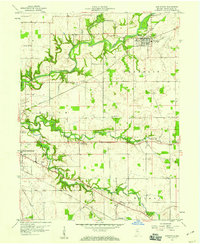
1958 · Darlington
USGS Topo · 1:24,000
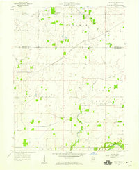
1958 · Kirkpatrick
USGS Topo · 1:24,000
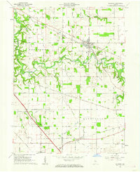
1961 · Mulberry
USGS Topo · 1:24,000
1961 · Stockwell
USGS Topo · 1:24,000
1961 · Frankfort
USGS Topo · 1:24,000
1961 · Hazelrigg
USGS Topo · 1:24,000
1961 · Shannondale
USGS Topo · 1:24,000