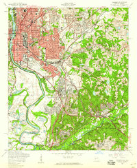
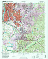
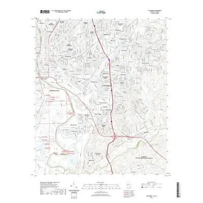
1955 Map of Columbus
USGS Topo · Published 1959About this map
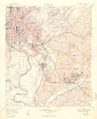
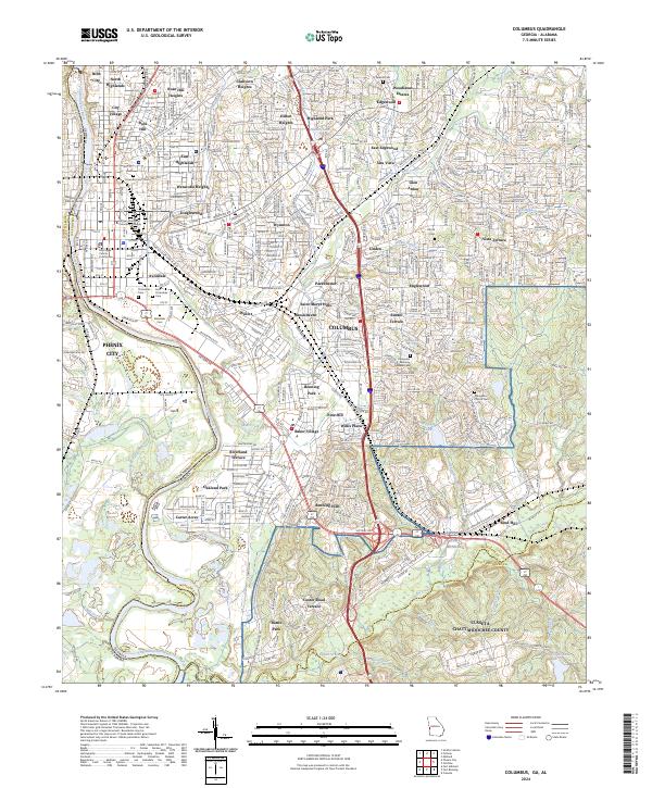
The Chattahoochee River serves as the dividing line between Georgia and Alabama, where the industrial and residential core of Columbus meets Phenix City. During the mid-1950s, the urban landscape of Columbus expanded east and south, documented through dense neighborhoods like East Highlands, Wynnton, and Rose Hill. Significant transit infrastructure anchors the city, including the Central of Georgia and Southern Railway lines that served the riverfront mills, and the Columbus Municipal Airport situated near the massive northern boundary of the Fort Benning Military Reservation.
Find a feature on this map
107 named features on this map. Tap any name to fly to it.
Don’t see what you’re looking for? This feature index may not catch every label — zoom into the map to look around manually.
Map Details
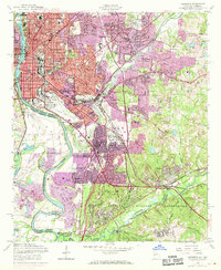
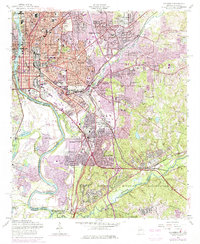
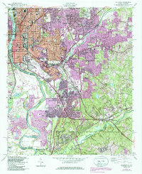
Editions of this 1955 Columbus Map
5 editions found
Historical Maps of Columbus Through Time
12 maps found
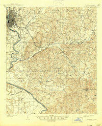
1908 Columbus
Muscogee County, GA

1929 Columbus
Muscogee County, GA

1947 Columbus
Muscogee County, GA
1949 Columbus
Muscogee County, GA
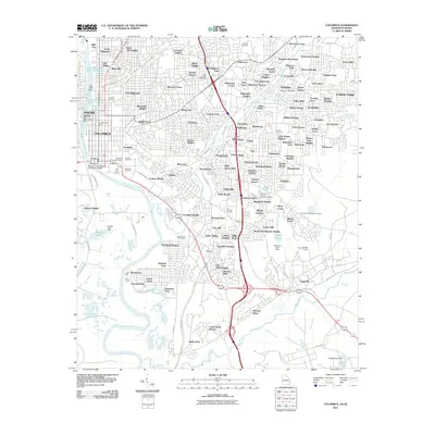
1955 Columbus
Muscogee County, GA
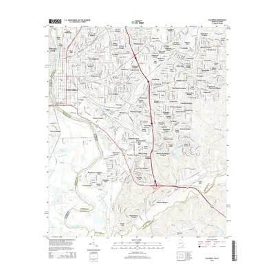
1955 Columbus
Muscogee County, GA
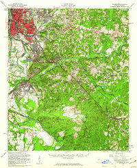
1999 Columbus
Muscogee County, GA
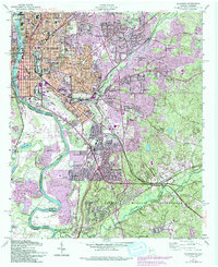
2011 Columbus
Muscogee County, GA
2014 Columbus
Muscogee County, GA
2017 Columbus
Muscogee County, GA
2020 Columbus
Muscogee County, GA
2024 Columbus
Muscogee County, GA