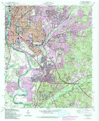
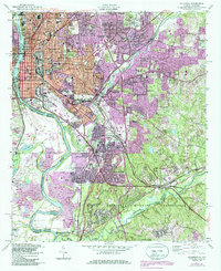
1955 Map of Columbus
USGS Topo · Published 1993About this map
The Chattahoochee River defines the western edge of Columbus, where the industrial character of the mid-20th century is evidenced by the City Mills Dam and several brickyards. This survey illustrates the city's eastern expansion into neighborhoods like Wynnton, Edgewood, and St Marys Hills, while the southern portion is dominated by the sprawling grounds of the Fort Benning Military Reservation. The map captures a detailed civic landscape, from the New City Auditorium and 4th Avenue Library downtown to a dense network of local schools such as Wynton School and Fox Elementary School. Several large interment grounds, including Linwood Cemetery and Riverdale Cemetery, provide significant points of interest for genealogical research. The rail infrastructure of the Southern and Central of Georgia lines highlights the city's role as a regional transportation hub.
Find a feature on this map
128 named features on this map. Tap any name to fly to it.
Don’t see what you’re looking for? This feature index may not catch every label — zoom into the map to look around manually.
Map Details
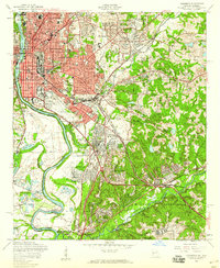
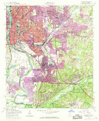
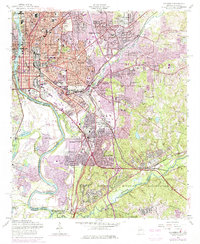
Editions of this 1955 Columbus Map
5 editions found
Other maps of this area

1907 · Talbotton
USGS Topo · 1:125,000

1907 · Opelika
USGS Topo · 1:125,000

1908 · Columbus
USGS Topo · 1:62,500

1909 · Opelika
USGS Topo · 1:125,000

1914 · Seale
USGS Topo · 1:62,500

1929 · Columbus
USGS Topo · 1:48,000

1947 · Columbus
USGS Topo · 1:62,500

1949 · Midland
USGS Topo · 1:24,000

1949 · Fort Mitchell
USGS Topo · 1:24,000

1949 · Ochillee
USGS Topo · 1:24,000