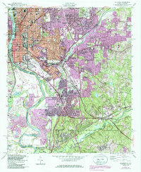
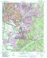
1955 Map of Columbus
USGS Topo · Published 1986About this map
The Chattahoochee River defines the western edge of this mid-century landscape, separating Columbus, Georgia, from the Alabama shoreline. This map documents a period of significant urban expansion as residential developments like Rose Hill Heights and Clubview Heights fill the space between the river and the Fort Benning Military Reservation. The city's industrial roots remain visible at the Brickyard Kilns and along the tracks of the Central of Georgia Railroad and Southern Railway, which anchored the local economy.
Find a feature on this map
83 named features on this map. Tap any name to fly to it.
Don’t see what you’re looking for? This feature index may not catch every label — zoom into the map to look around manually.
Map Details
Editions of this 1955 Columbus Map
5 editions found
Other maps of this area

1907 · Talbotton
USGS Topo · 1:125,000

1907 · Opelika
USGS Topo · 1:125,000

1908 · Columbus
USGS Topo · 1:62,500

1909 · Opelika
USGS Topo · 1:125,000

1914 · Seale
USGS Topo · 1:62,500

1929 · Columbus
USGS Topo · 1:48,000

1947 · Columbus
USGS Topo · 1:62,500

1949 · Midland
USGS Topo · 1:24,000

1949 · Fort Mitchell
USGS Topo · 1:24,000

1949 · Ochillee
USGS Topo · 1:24,000