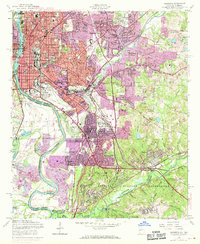
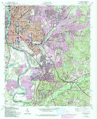
1955 Map of Columbus
USGS Topo · Published 1970About this map
The Chattahoochee River defines the western edge of this mid-century survey, separating Georgia from Alabama and serving as the industrial and logistical spine for Columbus. The city exhibits dense urban development during this era, with distinct neighborhoods like City Village and Rose Hill transitioning into suburban expansions such as Benning Hills and Linden. Significant infrastructure including the Southern Railway and Central of Georgia RR connect the manufacturing districts near the river to the wider region. To the south and east, the massive Fort Benning Military Reservation shapes the landscape, marked by military housing at Benning Park and landmarks like the Custer Road Terrace. Traces of the local economy are visible in the Brickyard Kilns and numerous gravel pits near Bussys Lake, while social life is evidenced by the Super Drive-in Speedway and several golf courses.
Find a feature on this map
127 named features on this map. Tap any name to fly to it.
Don’t see what you’re looking for? This feature index may not catch every label — zoom into the map to look around manually.
Map Details
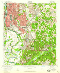
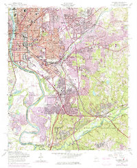
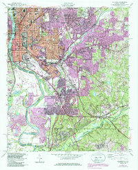
Editions of this 1955 Columbus Map
5 editions found
Other maps of this area

1907 · Talbotton
USGS Topo · 1:125,000

1907 · Opelika
USGS Topo · 1:125,000

1908 · Columbus
USGS Topo · 1:62,500

1909 · Opelika
USGS Topo · 1:125,000

1914 · Seale
USGS Topo · 1:62,500

1929 · Columbus
USGS Topo · 1:48,000

1947 · Columbus
USGS Topo · 1:62,500

1949 · Midland
USGS Topo · 1:24,000

1949 · Fort Mitchell
USGS Topo · 1:24,000

1949 · Ochillee
USGS Topo · 1:24,000