
1922 Map of Confluence
USGS Topo · Published 1922About this map
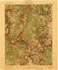
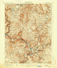
The Youghiogheny River and Casselman River converge at the town of Confluence, a critical mountain junction where the Baltimore and Ohio RR and the Western Maryland RR trace the winding riverbanks. This 1922 edition reveals a landscape dense with small-scale rural infrastructure, from the Baldwin Mine near Humbert to a remarkable concentration of country schools such as Fairoaks School and Three Maples School. The rugged terrain of Laurel Hill is punctuated by significant engineering works, including the Brooks Tunnel and Benford Tunnel, which allowed the railroads to navigate the steep ridges of the Laurel Highlands. Further south, the National Pike crosses the Youghiogheny River at Somerfield, marking a historic transportation corridor that predates the modern highway system, while the mountain slopes are dotted with community landmarks like Old Bethel Church and Jersey Church.
Find a feature on this map
103 named features on this map. Tap any name to fly to it.
Don’t see what you’re looking for? This feature index may not catch every label — zoom into the map to look around manually.
Map Details
Editions of this 1922 Confluence Map
3 editions found
Other maps of this area

1899 · Grantsville
USGS Topo · 1:62,500

1900 · Accident
USGS Topo · 1:62,500

1900 · Uniontown
USGS Topo · 1:62,500

1902 · Connellsville
USGS Topo · 1:62,500

1904 · Bruceton
USGS Topo · 1:62,500

1904 · Grantsville
USGS Topo · 1:62,500

1913 · Somerset
USGS Topo · 1:62,500

1915 · Somerset
USGS Topo · 1:62,500

1921 · Meyersdale
USGS Topo · 1:62,500

1922 · Donegal
USGS Topo · 1:62,500