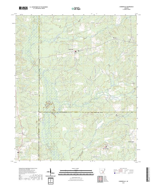
2024 Map of Cornerville
USGS Topo · Published 2024About this map
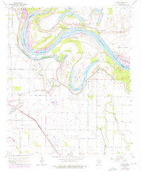
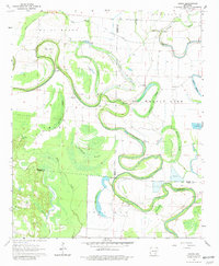
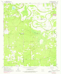
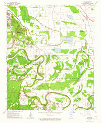
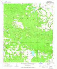
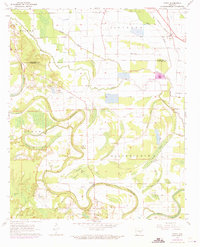
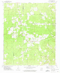
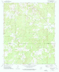
Cornerville serves as a central hub for this rural landscape where Cleveland, Lincoln, and Drew counties meet. The area is defined by a network of creeks and branches, including the winding Sevenmile Creek and Hudgens Creek, which carve through the terrain near Hardee Hill. This 2024 data reveals a community deeply connected to its local heritage, evidenced by the numerous family and community burial grounds such as Newton Chapel Cem, Strangers Rest Cem, and Blankenship Cem.
Find a feature on this map
56 named features on this map. Tap any name to fly to it.
Don’t see what you’re looking for? This feature index may not catch every label — zoom into the map to look around manually.
Map Details
Editions of this 2024 Cornerville Map
This is the sole edition of this map. No revisions or reprints were ever made.
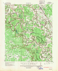
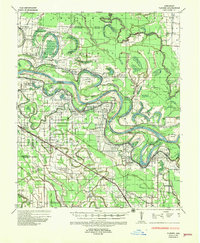
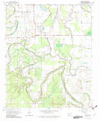
Historical Maps of Bethel Through Time
24 maps found

1935 Feenyville
Lincoln County, AR
1935 Rotan
Lincoln County, AR
1935 Varner
Lincoln County, AR
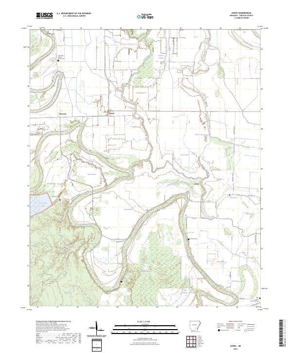
1964 Avery
Lincoln County, AR
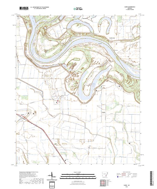
1964 Cades
Lincoln County, AR
1964 Gourd
Lincoln County, AR
1964 Pinebergen
Lincoln County, AR
1964 Tarry
Lincoln County, AR
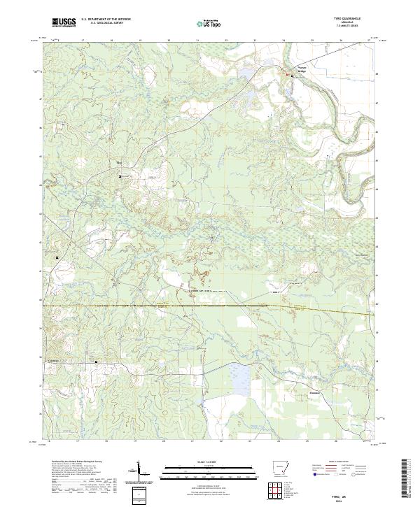
1964 Tyro
Lincoln County, AR

1968 Rotan
Lincoln County, AR
1971 Tarry
Lincoln County, AR
1973 Glendale
Lincoln County, AR
1973 Relfs Bluff
Lincoln County, AR
1975 Lonoke SE
Lincoln County, AR
1978 Varner
Lincoln County, AR
2024 Avery
Lincoln County, AR
2024 Cades
Lincoln County, AR
2024 Cornerville
Lincoln County, AR

2024 Glendale
Lincoln County, AR
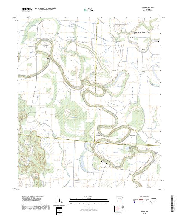
2024 Gourd
Lincoln County, AR
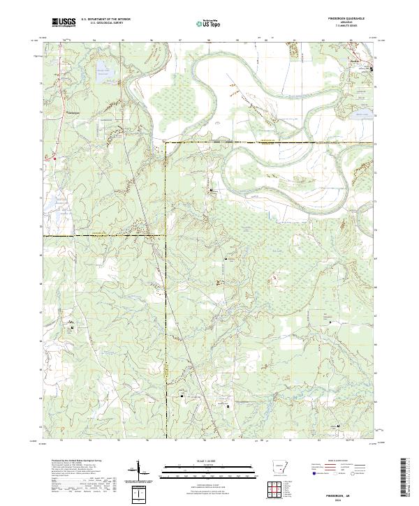
2024 Pinebergen
Lincoln County, AR
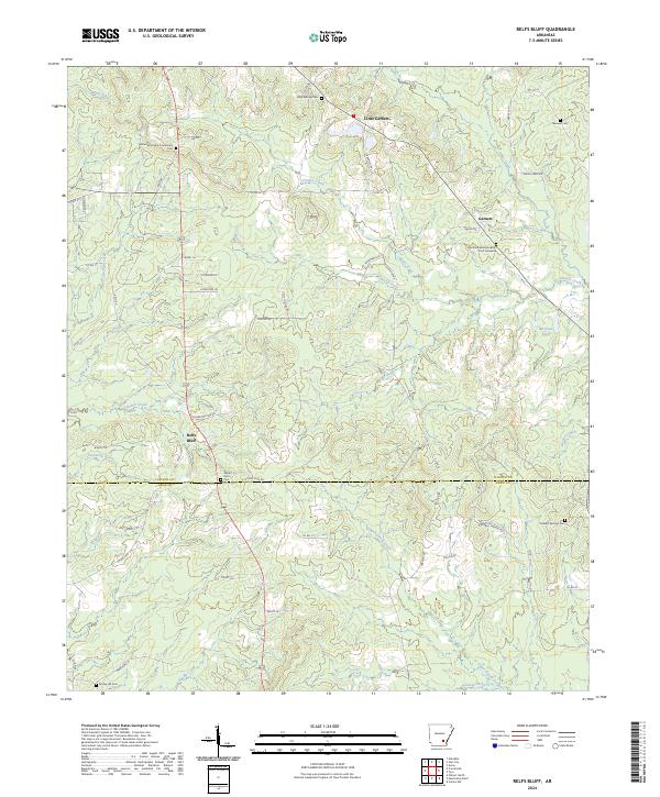
2024 Relfs Bluff
Lincoln County, AR
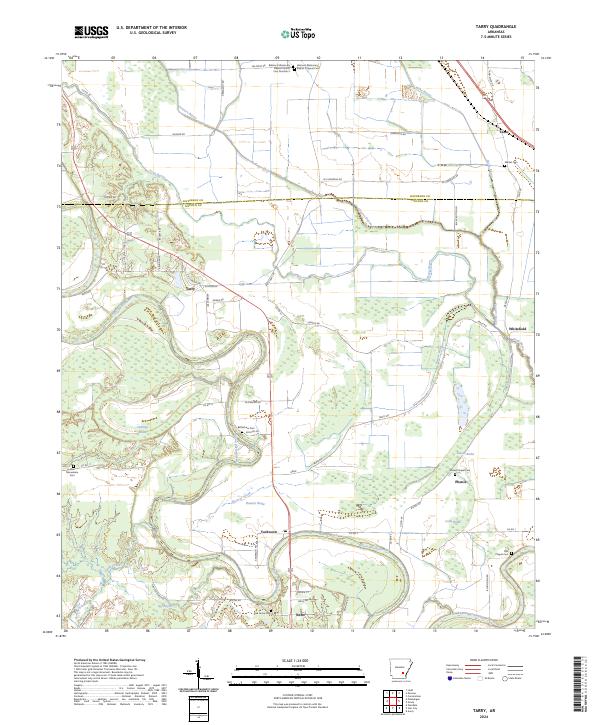
2024 Tarry
Lincoln County, AR
2024 Tyro
Lincoln County, AR