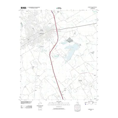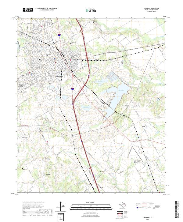
1985 Map of Corsicana
USGS Topo · Published 1991About this map
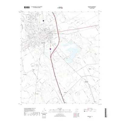
Cedar Creek Reservoir and the expansive Trinity River bottomlands anchor the eastern landscape of this mid-1980s North Texas survey. The region displays a transition from the agricultural prairies near Waxahachie and Ennis to the significant water management projects that reshaped local geography during the mid-20th century. Local history and genealogy are preserved in the locations of country churches such as Pettys Chapel, Derrs Chapel, and Whites Chapel, which stand alongside growing lakeside communities like Gun Barrel City and Seven Points.
Find a feature on this map
107 named features on this map. Tap any name to fly to it.
Don’t see what you’re looking for? This feature index may not catch every label — zoom into the map to look around manually.
Map Details
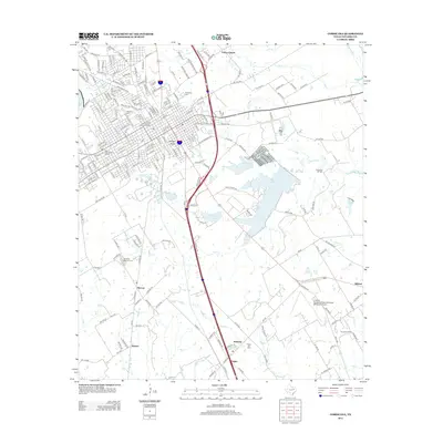
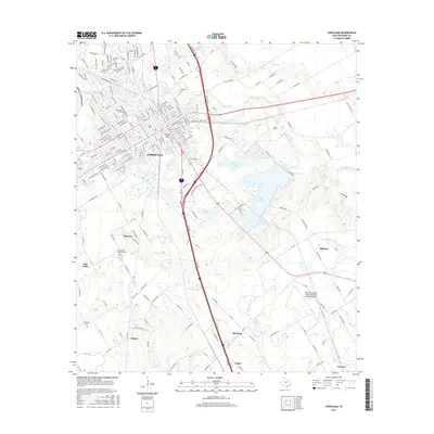
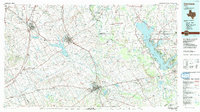
Editions of this 1985 Corsicana Map
2 editions found

Historical Maps of Waxahachie Through Time
7 maps found