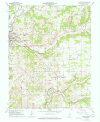
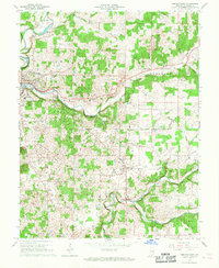
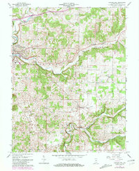
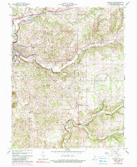
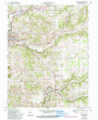
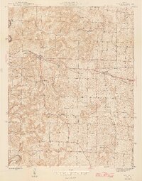
1966 Map of Corydon East
USGS Topo · Published 1968About this map
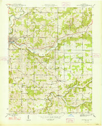
Indian Creek and its winding tributaries, including Little Indian Creek and Brush Heap Creek, carve through the rolling landscape of southern Indiana in this mid-1960s survey. The area is anchored by the historic settlement of Corydon, where municipal infrastructure like the Filtration Plant and landmarks such as the Cedar Hill Cem and Harrison Grange are clearly mapped. South of town, the Corydon Country Club and the residential pocket of Hillcrest illustrate the mid-century expansion of the community.
Find a feature on this map
29 named features on this map. Tap any name to fly to it.
Don’t see what you’re looking for? This feature index may not catch every label — zoom into the map to look around manually.
Map Details
Editions of this 1966 Corydon East Map
5 editions found
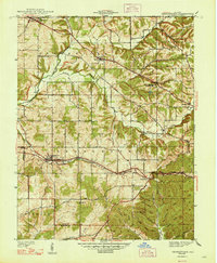
Other maps of this area

1909 · Kosmosdale
USGS Topo · 1:48,000

1912 · Kosmosdale
USGS Topo · 1:62,500
1931 · Corydon
USGS Topo · 1:62,500
1939 · Georgetown
USGS Topo · 1:24,000
1944 · Corydon West
USGS Topo · 1:24,000
1946 · Depauw
USGS Topo · 1:24,000
1947 · Georgetown
USGS Topo · 1:24,000
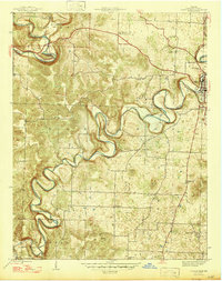
1947 · Corydon West
USGS Topo · 1:24,000
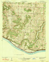
1947 · Mauckport
USGS Topo · 1:24,000
1948 · Corydon East
USGS Topo · 1:24,000