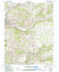
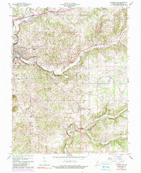
1966 Map of Corydon East
USGS Topo · Published 1994About this map
Corydon serves as the focal point for this Harrison County landscape, where the confluence of Little Indian Creek and Indian Creek defines the local topography. This 1966 survey, with revisions into the early 1990s, documents a rural Indiana community balancing traditional agriculture with mid-century development. The land is marked by small settlements like New Middletown and Breckenridge, alongside community landmarks such as the Harrison Grange and the Corydon Country Club. Genealogists will find several well-preserved family and church burial grounds, including Miles Spring Cem, Shuck Cem, and Sharon Cem. The southern portion of the sheet is dominated by the meandering path of Buck Creek as it winds through Webster and Harrison townships. Notable geographic and industrial features such as Kings Cave and the Filtration Plant indicate the region's relationship with its limestone geology and water resources.
Find a feature on this map
24 named features on this map. Tap any name to fly to it.
Don’t see what you’re looking for? This feature index may not catch every label — zoom into the map to look around manually.
Map Details
Editions of this 1966 Corydon East Map
5 editions found
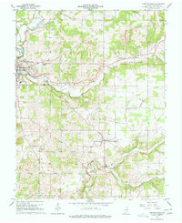
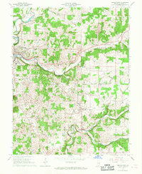
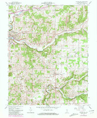
Other maps of this area

1909 · Kosmosdale
USGS Topo · 1:48,000

1912 · Kosmosdale
USGS Topo · 1:62,500

1931 · Corydon
USGS Topo · 1:62,500

1939 · Georgetown
USGS Topo · 1:24,000

1944 · Corydon West
USGS Topo · 1:24,000

1946 · Depauw
USGS Topo · 1:24,000

1947 · Georgetown
USGS Topo · 1:24,000

1947 · Corydon West
USGS Topo · 1:24,000

1947 · Mauckport
USGS Topo · 1:24,000

1948 · Corydon East
USGS Topo · 1:24,000