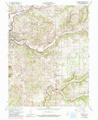
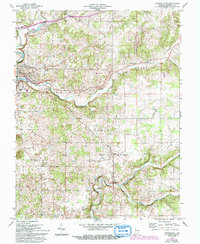
1966 Map of Corydon East
USGS Topo · Published 1983About this map
The eastern edges of Corydon and the surrounding rural landscapes of Harrison County are detailed in this survey based on mid-1960s data. The terrain is defined by the winding course of Indian Creek and its tributary, Little Indian Creek, which carve through the townships of Harrison, Franklin, and Webster. Small agrarian settlements and community hubs like New Middletown, Breckenridge, and Harrison Grange are connected by a network of local roads leading toward Hillcrest. Family and local history is anchored at sites like Cedar Hill Cem and Sharon Cem, while religious life centers on St Peters Ch and Salem Ch. The map also captures infrastructure and natural landmarks such as Dam No 3 near Miles Spring, the Corydon Country Club, and the entrance to Kings Cave, reflecting the area's mix of recreation and resource management during this era.
Find a feature on this map
29 named features on this map. Tap any name to fly to it.
Don’t see what you’re looking for? This feature index may not catch every label — zoom into the map to look around manually.
Map Details
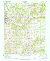
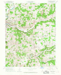
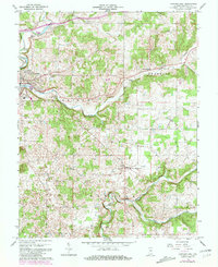
Editions of this 1966 Corydon East Map
5 editions found
Other maps of this area

1909 · Kosmosdale
USGS Topo · 1:48,000

1912 · Kosmosdale
USGS Topo · 1:62,500

1931 · Corydon
USGS Topo · 1:62,500

1939 · Georgetown
USGS Topo · 1:24,000

1944 · Corydon West
USGS Topo · 1:24,000

1946 · Depauw
USGS Topo · 1:24,000

1947 · Georgetown
USGS Topo · 1:24,000

1947 · Corydon West
USGS Topo · 1:24,000

1947 · Mauckport
USGS Topo · 1:24,000

1948 · Corydon East
USGS Topo · 1:24,000