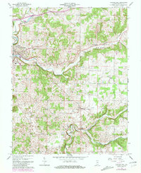
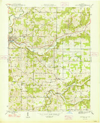
1966 Map of Corydon East
USGS Topo · Published 1981About this map
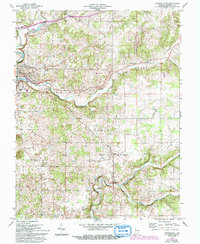
Indian Creek and Little Indian Creek wind through this part of Harrison County, shaping a landscape defined by sharp elevation changes and subterranean features like Kings Cave. The town of Corydon sits at the western edge, served by the Louisville New Albany and Corydon RR, which connects the community to broader regional trade. Further east, the small settlement of New Middletown anchors a more rural expanse dotted with family landmarks and local institutions, including the Harrison Grange and the Corydon Country Club.
Find a feature on this map
27 named features on this map. Tap any name to fly to it.
Don’t see what you’re looking for? This feature index may not catch every label — zoom into the map to look around manually.
Map Details
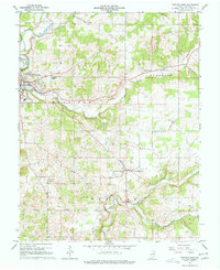
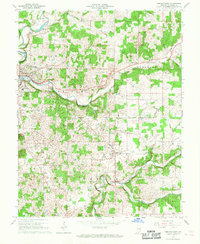
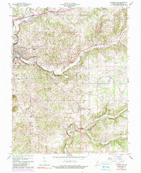
Editions of this 1966 Corydon East Map
5 editions found
Other maps of this area

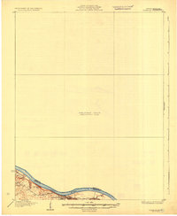
1909 · Kosmosdale
USGS Topo · 1:48,000

1912 · Kosmosdale
USGS Topo · 1:62,500
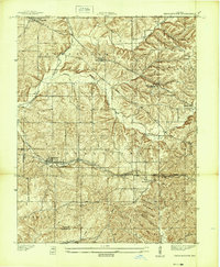
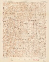
1931 · Corydon
USGS Topo · 1:62,500
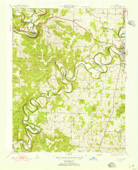
1939 · Georgetown
USGS Topo · 1:24,000
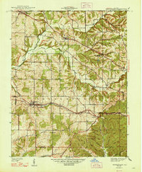
1944 · Corydon West
USGS Topo · 1:24,000
1946 · Depauw
USGS Topo · 1:24,000
1947 · Georgetown
USGS Topo · 1:24,000
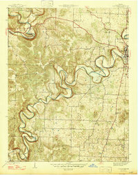
1947 · Corydon West
USGS Topo · 1:24,000
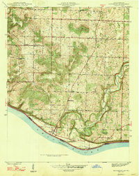
1947 · Mauckport
USGS Topo · 1:24,000
1948 · Corydon East
USGS Topo · 1:24,000