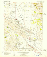
1954 Map of Cotati
USGS Topo · Published 1955About this map
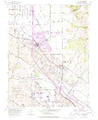
Cotati serves as the hub of this 1954 landscape, where the Northwestern Pacific railroad corridor and the Redwood Highway intersect. The presence of the Cotati Naval Auxiliary Air Station (Inactive) northwest of town reflects the region's recent military importance during the post-war years. Moving south through the rolling hills, the map details the rural character of communities like Penngrove and Liberty, where local life centered around the Liberty Cemetery and neighborhood schoolhouses such as Waugh Sch and Cinnabar Sch. The terrain is defined by the Sonoma Mountains to the east and drainage systems like Laguna de Santa Rosa and Willow Creek to the west. Small-scale industrial activity is evident in the several quarries scattered near Meacham Hill, highlighting the local resource extraction that supported regional development during this period of Sonoma County growth.
Find a feature on this map
59 named features on this map. Tap any name to fly to it.
Don’t see what you’re looking for? This feature index may not catch every label — zoom into the map to look around manually.
Map Details
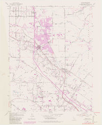
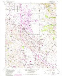
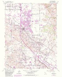
Editions of this 1954 Cotati Map
8 editions found
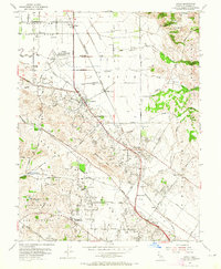
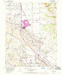
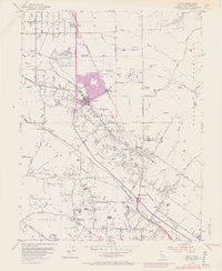
Other maps of this area

1914 · Petaluma
USGS Topo · 1:62,500

1916 · Santa Rosa
USGS Topo · 1:62,500

1916 · Point Reyes
USGS Topo · 1:48,000

1918 · Point Reyes
USGS Topo · 1:62,500

1935 · Sebastopol
USGS Topo · 1:48,000

1942 · Sebastopol
USGS Topo · 1:62,500

1942 · Petaluma
USGS Topo · 1:62,500

1944 · Santa Rosa
USGS Topo · 1:62,500

1947 · Santa Rosa
USGS Topo · 1:250,000

1949 · Santa Rosa
USGS Topo · 1:250,000