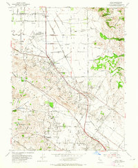
1954 Map of Cotati
USGS Topo · Published 1965About this map
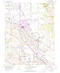
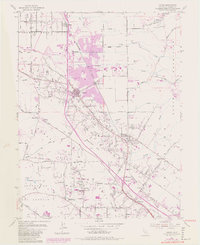
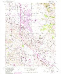
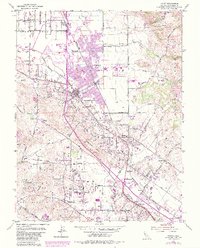
The Cotati Naval Auxiliary Air Station (Inactive) serves as a prominent landmark on this mid-century survey, its landing field and adjacent infrastructure marking a period of transition in Sonoma County. Settlement patterns follow the diagonal sweep of the Northwestern Pacific railroad, which links the hub of Cotati with smaller sidings and stops like Penngrove and Denman. The landscape is characterized by a mix of agricultural valley floor and rising terrain toward the Sonoma Mountains and Meacham Hill, where several quarries indicate local industrial activity.
Find a feature on this map
59 named features on this map. Tap any name to fly to it.
Don’t see what you’re looking for? This feature index may not catch every label — zoom into the map to look around manually.
Map Details
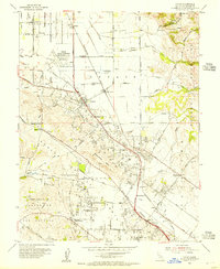
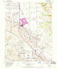
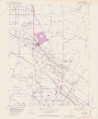
Editions of this 1954 Cotati Map
8 editions found
Other maps of this area

1914 · Petaluma
USGS Topo · 1:62,500

1916 · Santa Rosa
USGS Topo · 1:62,500

1916 · Point Reyes
USGS Topo · 1:48,000

1918 · Point Reyes
USGS Topo · 1:62,500

1935 · Sebastopol
USGS Topo · 1:48,000

1942 · Sebastopol
USGS Topo · 1:62,500

1942 · Petaluma
USGS Topo · 1:62,500

1944 · Santa Rosa
USGS Topo · 1:62,500

1947 · Santa Rosa
USGS Topo · 1:250,000

1949 · Santa Rosa
USGS Topo · 1:250,000