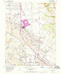
1954 Map of Cotati
USGS Topo · Published 1969About this map
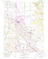
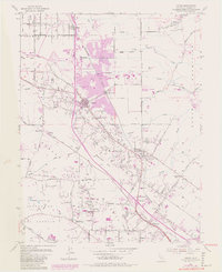
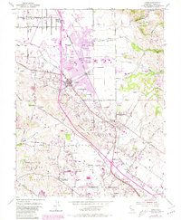
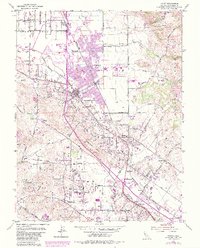
Cotati Naval Auxiliary Air Station and the emerging campus of Sonoma State College mark a period of rapid institutional and suburban expansion in Sonoma County. This survey, revised in 1968, illustrates the northward growth of Cotati and the development of Rohnert Park along the Northwestern Pacific Railroad corridor. The landscape is a mix of agricultural heritage and new infrastructure, where established landmarks like Liberty Cemetery and Cinnabar School sit near newer features like a Drive-in Theater and expanded residential zones. From the heights of the Sonoma Mountains to the lowlands along the Petaluma River, the map documents a transition from rural dairy and ranching country to a more connected academic and residential hub. Notable watercourses like Laguna de Santa Rosa and Copeland Creek drain the plains, while various quarries on Meacham Hill point to the area's local industry.
Find a feature on this map
53 named features on this map. Tap any name to fly to it.
Don’t see what you’re looking for? This feature index may not catch every label — zoom into the map to look around manually.
Map Details
Editions of this 1954 Cotati Map
8 editions found
Other maps of this area

1914 · Petaluma
USGS Topo · 1:62,500

1916 · Santa Rosa
USGS Topo · 1:62,500

1916 · Point Reyes
USGS Topo · 1:48,000

1918 · Point Reyes
USGS Topo · 1:62,500

1935 · Sebastopol
USGS Topo · 1:48,000

1942 · Sebastopol
USGS Topo · 1:62,500

1942 · Petaluma
USGS Topo · 1:62,500

1944 · Santa Rosa
USGS Topo · 1:62,500

1947 · Santa Rosa
USGS Topo · 1:250,000

1949 · Santa Rosa
USGS Topo · 1:250,000