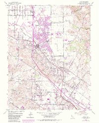
1954 Map of Cotati
USGS Topo · Published 1984About this map
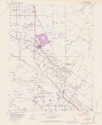
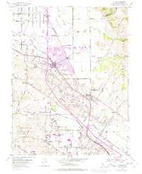
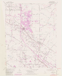
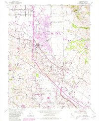
Llano De Santa Rosa serves as the backdrop for this mid-century look at Sonoma County's evolving landscape. The Northwestern Pacific railroad corridor anchors the valley, connecting the established hubs of Cotati and Penngrove. A significant expansion is visible through purple-tinted updates, highlighting the emergence of Rohnert Park and the development of Sonoma State College, which transformed former agricultural tracts into a suburban and academic center.
Find a feature on this map
63 named features on this map. Tap any name to fly to it.
Don’t see what you’re looking for? This feature index may not catch every label — zoom into the map to look around manually.
Map Details
Editions of this 1954 Cotati Map
8 editions found
Other maps of this area

1914 · Petaluma
USGS Topo · 1:62,500

1916 · Santa Rosa
USGS Topo · 1:62,500

1916 · Point Reyes
USGS Topo · 1:48,000

1918 · Point Reyes
USGS Topo · 1:62,500

1935 · Sebastopol
USGS Topo · 1:48,000

1942 · Sebastopol
USGS Topo · 1:62,500

1942 · Petaluma
USGS Topo · 1:62,500

1944 · Santa Rosa
USGS Topo · 1:62,500

1947 · Santa Rosa
USGS Topo · 1:250,000

1949 · Santa Rosa
USGS Topo · 1:250,000